July 12, 2012 Magellan and Canada’s CCI Entertainment Launch GeoFreakZ GeoTrails Program By GPS World Staff
July 12, 2012 Google Releases Indoor Maps for More than Twenty Museums Including Smithsonian By GPS World Staff
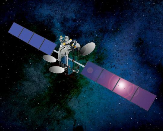
July 11, 2012 SSTL Signs €80M Contract with OHB for Second Batch of Galileo Payloads By GPS World Staff
July 10, 2012 Esri Releases ArcGIS for Maritime to Promote Better Chart Production and Data Management By Tracy Cozzens