September 13, 2013 Symmetricom to Participate in New Products Panel Session at ION GNSS+ By GPS World Staff
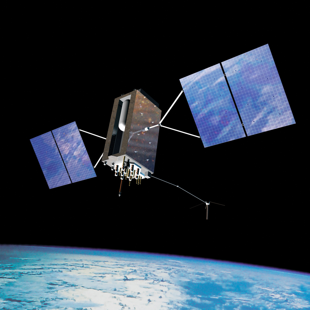
September 13, 2013 GPS III and OCX Satellite Launch, Early Orbit Ops Successfully Demonstrated By GPS World Staff
September 13, 2013 Astrium to Provide Satellite Imagery for Google Maps and Google Earth By Eric Gakstatter