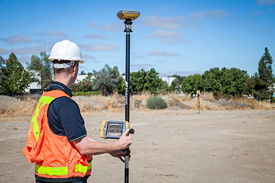
October 7, 2013 Topcon Announces Expanded Features, Connectivity Options with Magnet v2.0 By Tracy Cozzens
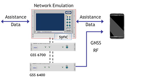
October 4, 2013 Spirent Announces Carrier-Approved A-GNSS Record and Playback Solution for Mobile Device Testing By GPS World Staff