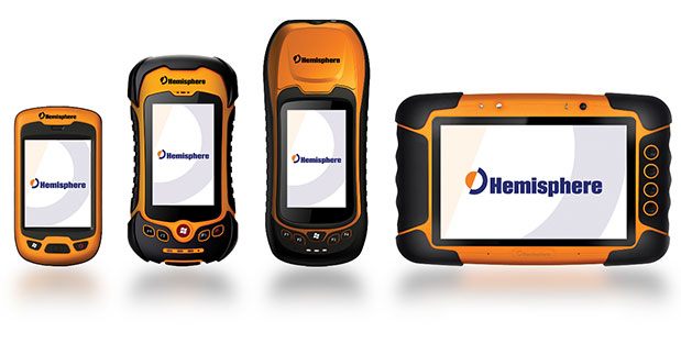
Skip to content

Archives

Bluesky Announces International Expansion at Intergeo 2013

October 7, 2013 - By

Using an airborne mapping system, aerial surveying company Bluesky is expanding its international operations. The integrated system, developed by Optech, includes a LiDAR and fully integrated thermal sensor and high-resolution camera. Bluesky is exhibiting at Intergeo 2013, being held this week in Essen, Germany. Already proven in the UK the system, thought to be a world first, has already been... read more

This article is tagged with and posted in GIS News, Lidar, Mapping, Products/Services Showcase

GPS Tracking Solution Now Offers DMS Integration

October 7, 2013 - By

Spireon, a Mobile Resource Management (MRM) and Business Intelligence Solutions provider, has completed an initial phase of the integration of its industry leading GoldStar GPS solution with Frazer’s Dealer Management System (DMS). Frazer is a provider of software solutions that auto dealers across the nation use to grow their business and increase their productivity, including its comprehensive DMS, which has... read more

This article is tagged with , , , and posted in Transportation

A Comparison of Free GPS Online Post-Processing Services

October 7, 2013 - By

On October 1, the U.S. federal government shut down and furloughed 800,000 non-essential workers. While services considered essential remained active, those considered non-essential services, like the National Geodetic Survey’s Online Positioning User Service (OPUS), were shut down. OPUS is a free, online GPS post-processing service. If you try to access www.ngs.noaa.gov, the following screen will be displayed: For those of... read more

This article is tagged with , , and posted in Latest News, Survey

Spirent Announces Carrier-Approved A-GNSS Record and Playback Solution for Mobile Device Testing

October 4, 2013 - By

Spirent Communications today announced the availability of carrier-approved Assisted GNSS Record and Playback capabilities on its Hybrid Location Technology Solution (HLTS).  This new A-GNSS Record and Playback capability provides unprecedented realism and repeatability by recording GNSS signals in the field and delivering synchronized assistance data over a radio access interface to test the A-GNSS positioning performance of mobile devices in... read more

This article is tagged with , , , and posted in Featured Stories, Latest News, OEM

iPhone App Lets Users See Imaging Satellites

October 4, 2013 - By

Orbit Logic announced that their SpyMeSat iPhone app is now available on the Apple App Store. The SpyMeSat app provides notifications when imaging satellites are overhead and may be taking your picture. A dynamic map shows orbit tracks and the location of satellites with upcoming passes over the user-specified location. According to the announcement, this is Orbit Logic’s first app... read more

This article is tagged with and posted in Featured Stories, GIS News, Imagery

International Colloquium Focuses on Galileo Fundamentals

October 4, 2013 - By

The Fourth International Colloquium – Scientific and Fundamental Aspects of the Galileo Programme will be held December 4-6, 2013, in Prague, Czech Republic. This colloquium intends to bring together leading members of the European scientific community and their international partners. One of its aims is to propose those in charge of Galileo operations and development means of enhancing the scientific... read more

This article is tagged with , and posted in Featured Stories, GNSS, Latest News

Hemisphere GNSS Offers New Eclipse Positioning Modules

October 3, 2013 - By

Today, Hemisphere GNSS introduces the Eclipse P306 and P307, the latest models in the Eclipse series. The Eclipse P306 and P307 track multi-frequency GPS, GLONASS, and BeiDou satellite signals and are Galileo and QZSS ready. By tracking more signals, RTK positioning performance improves especially in challenging environments. The Eclipse P306 and P307 are the first products to utilize the company’s... read more

This article is tagged with , , , and posted in Featured Stories, Latest News, Machine Control/Ag, Survey

ION GNSS+: A GISP Peeks over the GPS Wall

October 3, 2013 - By

By Art Kalinski, GISP Last week I attended the ION GNSS+ Conference (Institute of Navigation / Global Navigation Satellite Systems) in Nashville, touted as the largest GNSS conference in the world. Although Geospatial Solutions is closely aligned with GPS World, my focus is on GIS, and like most GIS people, we look at GPS devices as data collection tools and... read more

This is posted in GeoIntelligence Insider, Opinions