February 14, 2014 Spectra Precision’s Latest Survey Receiver Uses Six GNSS Systems By GPS World Staff
February 14, 2014 Trimble Adds Ultra High-Frequency RFID to Juno T41 Rugged Handhelds By GPS World Staff
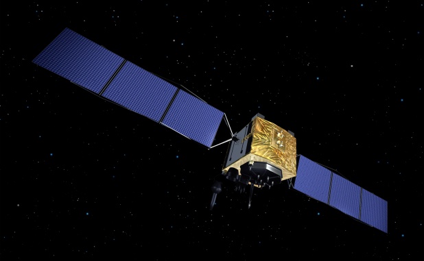
February 14, 2014 Up to Seven GLONASS Ground Stations Planned outside Russia in 2014 By GPS World Staff