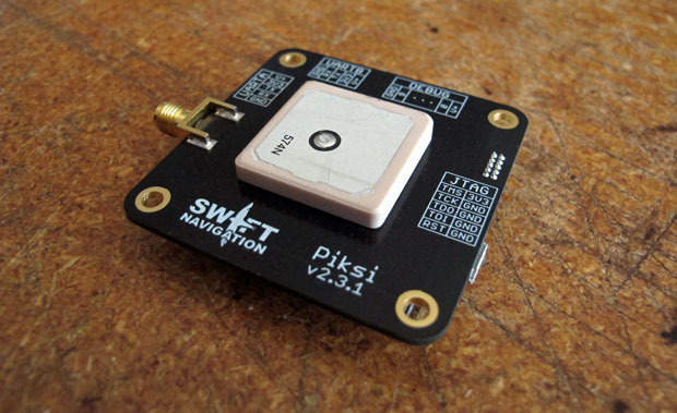
Skip to content

Archives

Leica’s GNSS Unlimited Allows Upgrades for Reference Receivers

December 8, 2014 - By

Leica Geosystems has extended its Spider product family with the new GNSS Unlimited for the Leica GR10 and GR25 GNSS receiver series, allowing receivers to be upgraded to the latest technology standards at any time. Both receivers are designed for Continuously Operating Reference Stations (CORS) infrastructure and monitoring applications, supporting GPS, GLONASS, Galileo, BeiDou and QZSS. Also, the classic Leica... read more

Road King to Use Hirschmann Antennas to for Ready-Mix Concrete Transport

December 4, 2014 - By

Ready-mix concrete transportation has long been a challenge for the fleet industry, as concrete is subject to unique time and maintenance limitations to prevent hardening during transit. To improve delivery efficiencies and monitor the integrity of this temperamental cargo, Road King Technologies, Inc., a fleet management and automation company, has integrated Hirschmann Solutions antennas, a supplier of antenna and transceiver... read more

This article is tagged with and posted in Transportation

Cohda Wireless, u-blox Develop System to Warn Drivers of Danger

December 4, 2014 - By

u-blox has provided global positioning technology to Cohda Wireless‘ vehicle-to-vehicle (V2V) and vehicle-to-infrastructure (V2I) equipment, collectively called V2X. V2X will be a key technology for the next generation of advanced driver assistance systems (ADAS) as well as autonomous vehicles, the companies said. Cohda’s DSRC (dedicated short-range communications) based V2X system uses accurate satellite positioning with embedded dead-reckoning technology provided by... read more

From Marriage Proposals to Holiday Messages, GPS Inspires Artists

December 4, 2014 - By

Artists are using GPS to create unique messages. In October, Jeremy Wood drove all over the United Kingdom to create a Halloween message, reports Metro. Wood drove a 10,000-mile, painstakingly-plotted route through England, Wales and Scotland in a Vauxhall Corsa, plotting a 264,000 positions on the car’s GPS. Wood linked the positions on a virtual drawing to create a picture... read more

This article is tagged with , , and posted in Latest News, Mobile

Is College Worth the Price? Yes, If Your Major is Geospatial

December 4, 2014 - By

Two weeks ago, CNN had a special airing of the two hour documentary Ivory Tower. The movie, which was released earlier this year, dealt with the growing problem of the increased cost of going to college, growing student debt — now approaching 1.3 trillion dollars, and the inability of students to find employment in their field. The movie raised some important issues... read more

This article is tagged with , and posted in GeoIntelligence Insider

Image Matters to Support NGA’s Accelerating Map of the World Initiative

December 3, 2014 - By

The National Geospatial-Intelligence Agency (NGA) has awarded Image Matters LLC a contract to address some of the agency’s most pressing challenges through its Accelerating Map of the World Initiative. The initiative will deliver innovative solutions that expedite and strengthen the agency’s Map of the World (MoW). MoW is foundational to the Intelligence Community’s object-based production environment. MoW will provide easy access... read more

This article is tagged with , and posted in GIS News

USDA Certifies CompassData’s CompassTA Elevation Verification Software

December 3, 2014 - By

CompassData, a provider of geospatial data and services, announced that its CompassTA elevation accuracy software has received OCIO-ITS certification from the U.S. Department of Agriculture (USDA). Certification allows 40,000 USDA users the opportunity to utilize CompassTA software for elevation accuracy verification of LiDAR point clouds, digital elevation models (DEM), and other raster data sets. “This certification provides assurance to our current... read more

This article is tagged with , , , and posted in GIS News

Nasdaq Offers Precision Time Service for Trading

December 3, 2014 - By

Nasdaq — the trading and exchange technology company — is launching a trade time-stamping service at its data center in Carteret, New Jersey, with access to a NIST-certified GPS antenna. The High Precision Time service is provided by Perseus, a provider of global high-speed connectivity, and enables Nasdaq customers to synchronize their time systems across a multitude of data centers. High Precision Time offers access to... read more

This article is tagged with , , and posted in Latest News