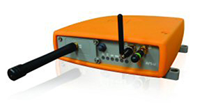
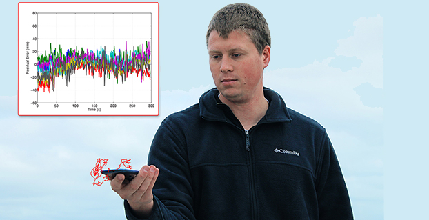
Skip to content

Archives

CompassData Granted ISO Certification for Quality-Management Systems

February 5, 2015 - By

CompassData, a worldwide provider of geospatial data and services, has received ISO 9001:2008 Certification for Quality Management Systems from Orion Registrar Inc.. The ISO 9001:2008 certification is well established in the United States and around the world as a quality-management system tool. CompassData completed a rigorous audit in which Orion Registrar reviewed each step in the firm’s quality-management methodologies used during the creation... read more

This article is tagged with and posted in GIS News, GNSS/GPS

DigitalGlobe’s Geospatial Big Data Platform Enabling New Commercial Solutions

February 5, 2015 - By

DigitalGlobe, Inc., has agreed to provide another commercial customer access to its Geospatial Big Data (GBD) platform, paving the way for new analytic products serving the insurance, forestry, oil & gas, and mining industries, the company said. Exogenesis is a provider of advanced analytics, algorithm development, and predictive modeling and simulation. The company has subscribed to DigitalGlobe’s GBD service to facilitate new... read more

This article is tagged with , , , , and posted in GIS News, GIS Software

University of Tennessee Hosts Father of Geographic Information Science

February 5, 2015 - By

Michael Goodchild, emeritus professor of geography at the University of California, Santa Barbara, will speak on “Space, Place, and GIS” at the University of Tennessee Department of Geography on Feb. 12 in Knoxville. Goodchild will deliver the annual Hammond Lecture in the Lindsay Young Auditorium of John C. Hodges Library. A reception will be held at 3 p.m., and the presentation will follow at... read more

This is posted in GIS News

Tallysman Wraps Antennas in Armored Cable for Precision Ag, M2M

February 5, 2015 - By

Tallysman’s enclosed antennas now come with optional armored corrugated cable. The standard RG174 cable is encased in a corrugated conduit of tough plastic, which maintains its functionality between the temperatures of -40 to +150C. The extra protection increases the resilience of the antenna for use in precision agriculture, machine-to-machine, and other rugged applications. Tallysman is a manufacturer of high-performance, high-quality products... read more

This article is tagged with , , , and posted in GNSS, Latest News, Machine Control/Ag

Topcon’s Android App Drives LN-100 Layout Navigator

February 5, 2015 - By

Topcon Positioning Group has released a new app designed to drive the LN-100 Layout Navigator system MAGNET Construct. The no-cost app, available for the Android market, is built to provide “out-of-the-box” productivity with LN-100W hardware. “The MAGNET Construct app offers intuitive options to drive an LN-100W for fast as-built measurements as well as graphical guidance to your design data.” said Oscar... read more

This article is tagged with , and posted in GIS News, Mobile Devices, Products/Services Showcase, Technology

Global Mapper v16.1 Introduces 3D and UAV Video Playback Tools

February 5, 2015 - By

Global Mapper version 16.1, what Blue Marble terms an “interim release,” adds a UAV Video Playback Tool, new options to rotate the map view, and the ability to select and measure features in the 3D viewer. It is available for download. To introduce the new version, Blue Marble is presenting a free webinar titled “What’s New in Global Mapper v16.1” on February 19... read more

Mojio Partners with Dooing to Offer Live Fleet Tracking

February 5, 2015 - By

Mojio, an open platform for connecting cars, has announced a partnership with Dooing, a new team management platform for businesses that can dispatch jobs and track teams. “With Dooing, any business can dispatch jobs and track teams on the move, from three people to thousands,” said David Barton-Grimley, a Mojio developer and co-founder of Dooing. “iOS and Android apps are... read more

This article is tagged with , , , , , , , and posted in Latest News, Mobile

US Fleet Tracking’s GPS Trackers Aim to Save Money

February 5, 2015 - By

US Fleet Tracking‘s GPS trackers allow companies to monitor its fleet drivers’ speeds. Monitoring a driver’s speed may reduce the risk of an increase in insurance premiums, ticket costs, and fuel and maintenance costs. The company’s GPS trackers store speeding information, meaning drivers may increase performance knowing their speed is being observed. read more

This article is tagged with , , , and posted in Mobile, Videos