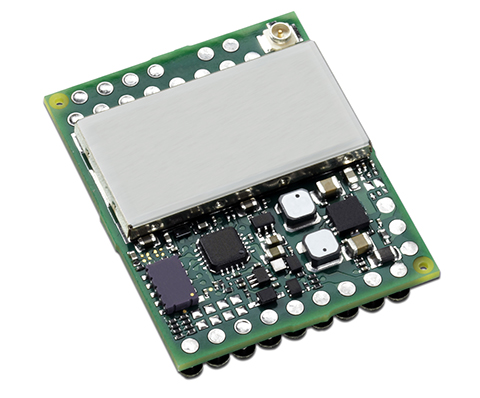
Skip to content

Archives

Geofeedia, IDV Form Partnership for Threat Assessment

March 23, 2015 - By

IDV Solutions, a corporation that specializes in business intelligence, physical security and risk visualization software, has formed a technical partnership with Geofeedia, producer of a cloud-based social media monitoring platform. Through the partnership, Geofeedia’s location-based social media monitoring data will now be integrated into IDV Solutions’ Visual Command Center Enterprise Risk Visualization (ERV) software. The companies say the combination of the... read more

GEO Business 2015 Returns for Second Year

March 20, 2015 - By

Following its debut in 2014, GEO Business returns to The Business Design Centre in London on May 27-28. GEO Business 2015 combines a central trade exhibition with a conference program with 50 presentations and 140 live commercial workshops. The presentations and workshops, which provide first-hand demonstrations, have grown in number by 34 percent over the first year. Also larger this year is the exhibit space, by 64 percent, organizers said.... read more

This article is tagged with , , and posted in Events, Latest News, Survey

FAA Gives Amazon Go-Ahead for Delivery Drone Tests

March 20, 2015 - By

The Federal Aviation Administration has issued an experimental airworthiness certificate to an Amazon Logistics, Inc. unmanned aircraft (UAS) design that Amazon will use for research and development and crew training. Amazon has said it wants to use drones for delivering packages to customers. The FAA typically issues experimental certificates to manufacturers and technology developers to operate a UAS that does not have... read more

Airbus Imagery to Help Vanuatu in Wake of Cyclone

March 20, 2015 - By

Following Cyclone Pam, Airbus Defence and Space has acquired Pléiades and SPOT 6 and 7 imagery over the island nation of Vanuatu to support the International Charter and Copernicus Emergency Management Service. The data acquired will assist in assessing the damage and help rescue organizations in the delivery of humanitarian aid. The before and after Pléiades images over Port Vila, that can... read more

This article is tagged with , , , and posted in Featured Stories, GIS News

Trimble’s Southard Elected to MAPPS Board

March 20, 2015 - By

MAPPS, an association of private-sector geospatial firms, has elected George Southard of Trimble Navigation Limited to the MAPPS Board of Directors, representing the association’s associate members. At its winter conference in January, the MAPPS membership approved a change to the association’s bylaws to create a non-voting, ex officio seat on the board, to be elected by and from associate member firms. Southard... read more

This article is tagged with , and posted in Uncategorized

Navitel Offers Navigation Map of India

March 20, 2015 - By

Navitel’s navigation map of India is now available for purchase, for use with the Navitel Navigator GPS & Maps app on Google Play. Navitel Navigator is a precise offline GPS navigation with free geosocial services and detailed maps of 59 countries, with 20 million downloads worldwide. The map of India contains 2,092,013 km of road graph, 594 627 cities, towns, and other... read more

This article is tagged with , , , , , and posted in Latest News, Mobile

MemSQL Brings Geospatial Analysis to In-Memory, Distributed Databases

March 20, 2015 - By

MemSQL, which specializes in real-time databases for transactions and analytics, has announced new geospatial capabilities for its in-memory, distributed SQL-based database. By bringing together geospatial and operational data in the same high speed database, customers can achieve unprecedented agility for geospatial analysis, MemSQL said. Unlike segregated solutions, MemSQL integrates geospatial data as a primary data type, making it as easy to... read more

This article is tagged with , , and posted in GIS News, GIS Software, GNSS/GPS, Technology

PocketGIS for Android Now on Available

March 20, 2015 - By

Pocket Systems Ltd. has released PocketGIS for Android. PocketGIS is a professional mobile geographical information system for field data capture and surveying, which can capture and edit map geometry and enter data using forms. PocketGIS runs on Android 4.0 and later and is designed for tablet and handheld screens. GPS/GNSS. PocketGIS can be linked to a device’s internal GPS or GNSS receiver, or an external... read more