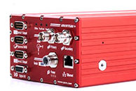
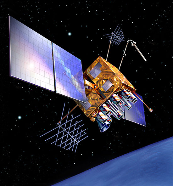
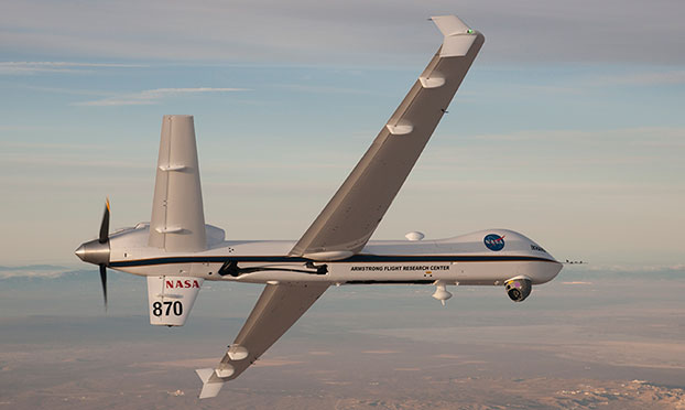
Boundless Uses GIS Imagery to Search for MH370 Debris
Geospatial experts at Boundless, a geospatial IT company, discuss how GIS imagery can help find debris from missing Malaysian Airlines flight MH370. The blog post Georeferencing Imagery in the Hunt for MH370 takes the complicated location of debris from MH370, and puts it through the open-source software used by Boundless to overlay two major ocean currents, the South Equatorial Current, and the West Australian Current. Prevailing... read more
Follow Us