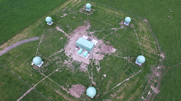
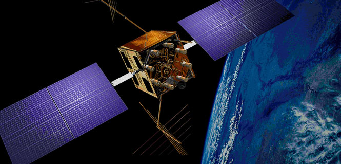
Skip to content

Archives

Esri story map considers Katrina 10 years later

November 12, 2015 - By

In August 2005, Hurricane Katrina struck the city of New Orleans, causing devastating damage and loss of life. A new Esri story map, “Katrina +10: A Decade of Change in New Orleans,” analyzes the damage from the storm. “The story map is a new Esri medium for sharing not only data, photos, videos, sounds and maps, but for telling a... read more

This article is tagged with , , , , and posted in Latest News, Survey

Mapping with Bluetooth

November 12, 2015 - By

BlueStarGPS offers both GPS and GNSS options in a rugged, lightweight package. The BlueStarGPS device was designed to meet sub-meter mapping and data collection needs in the pipeline and utility industries. It provides sub-meter precision without post-processing, and maintains accurate positioning when the SBAS signal is obstructed. This means it can function under trees, around buildings and in rugged terrain... read more

This article is tagged with and posted in Mapping, Product Showcase, Survey

CHC Navigation launches iOS-ready L1 receiver

November 12, 2015 - By

The X20i L1 GPS receiver by CHC Navigation is powered by a high-precision L1 GPS engine. Its integrated Bluetooth chip enables it to wirelessly collect submeter positions in real­ time or centimeter post-processed on an iPhone or iPad. All location-aware apps on the iPhone and iPad are compatible with the X20i. Immediately after pairing and answering the security question allowing... read more

This is posted in Latest News, Product Showcase, Survey

Bentley reality modeling helped with Pope’s Philadelphia visit

November 12, 2015 - By

When Philadelphia welcomed Pope Francis during his September visit, Bentley Systems’ 3D reality modeling tools helped the event company plan the multi-faceted event, including the anchor event of the Eighth World Meeting of Families Congress. In planning this massive and multi-faceted event, production company ESM Productions needed to coordinate with Philadelphia’s many public services, as well as the U.S. Secret Service, Pennsylvania state... read more

This article is tagged with , , , , and posted in Featured Stories

UAV real-time: Data use in a lightweight direct georeferencing system

November 12, 2015 - By

By Christian Eling, Lasse Klingbeil, Markus Wieland, Erik Heinz and Heiner Kuhlmann Direct georeferencing with onboard sensors is less time-consuming for data processing than indirect georeferencing using ground control points, and can supply real-time navigation capability to a UAV. This is very useful for surveying, precision farming or infrastructure inspection. An onboard system for position and attitude determination of lightweight... read more

Research Online: Positioning with LTE signals

November 12, 2015 - By

Positioning with LTE Signals An alternative to GNSS in urban canyons can be provided by signals from cellular base stations, particularly new signals from long-term evolution (LTE) networks, since LTE coverage will be high in cities. Wide LTE downlink bandwidth provides good resolution of multipath components, which also assists positioning. A test used a universal software radio peripheral N210 synchronized... read more

Launchpad: IoT chip, simulators, threat detector

November 12, 2015 - By

Featuring new products in the OEM, survey, mapping and unmanned aerial vehicle sectors. read more

This article is tagged with , and posted in From the Magazine, OEM, Product Showcase, Survey

Next-generation GLONASS-K2 won’t launch until 2017 at earliest

November 12, 2015 - By

The test flight of the first GLONASS-K2 satellite — a new generation GLONASS satellite with a design life of 10 years — is expected to take place from late 2017 to early 2018, RIA Novosti reports. The Russian news agency quoted Nikolai Testoyedov, CEO of Information Satellite Systems—Reshetnev, speaking at the 2015 Dubai Air Show. According to Testoyedov, the GLONASS-K2 satellites had difficulty being equipped following... read more

This article is tagged with , , , , , and posted in GNSS, Latest News