December 15, 2016 Orolia fortifies resilient PNT with Satelles satellite time and location signal By GPS World Staff
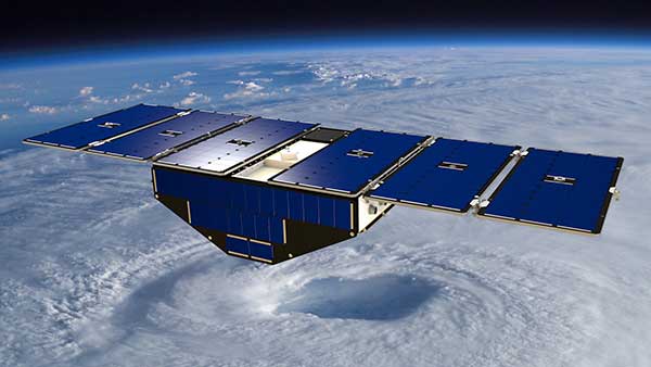
December 15, 2016 NASA launches micro satellites with GNSS receivers for remote weather sensing By GPS World Staff
December 15, 2016 US Air Force approves Lockheed’s ground control upgrade for GPS III By GPS World Staff