March 16, 2018 Simulating multipath in real time for receiver evaluation By Tommaso Panicciari, Mohamed Ali Soliman, and Grégory Moura
March 16, 2018 Research Online: Navigation augmentation based on LEO communication satellite constellations By Ruidan Luo, Hong Yuan, and Ying Xu
March 16, 2018 Expert Opinions: How simulation can aid in anti-spoofing developments By GPS World Staff
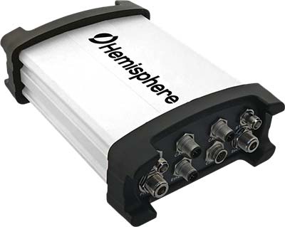
March 14, 2018 Hemisphere GNSS offers Atlas-capable GNSS receiver for marine applications By Tracy Cozzens