March 14, 2018 Esri FedGIS Conference showcases spatial analytics for government action By Tracy Cozzens
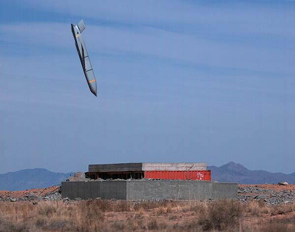
March 13, 2018 Lockheed Martin’s JASSM-ER declared operational on F-15E Strike Eagle By GPS World Staff