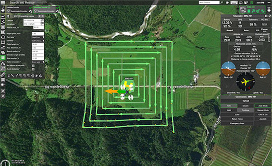
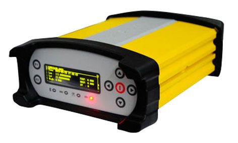
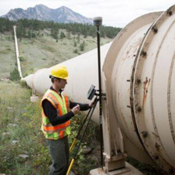
Skip to content

Archives

UAVs used for disaster management, identifying threats

August 15, 2018 - By

UAVs made international headlines this month with an apparent attack on Venezuelan President Maduro in Caracas on Aug. 4 during his speech at a military parade. The attack seems to have been mounted by those operating two small six-rotor UAVs similar the DJI Matrice 600 — one was certainly carrying explosives because it was videoed exploding. These drones showed up... read more

This article is tagged with , , , , , , and posted in OEM, Opinions, UAV/UGV

Commuter rail industry tracks progress on positive train control

August 14, 2018 - By

The commuter rail industry is making progress installing and implementing positive train control (PTC), according to an analysis by the American Public Transportation Association (APTA), an advocate for the advancement of public transportation programs and initiatives in the United States. The advancements reflect the commuter rail industry’s commitment to safety and implementing PTC by the Dec. 31 statutory deadline, APTA... read more

This article is tagged with , , , , and posted in Latest News, Transportation

NovAtel launches TerraStar-C PRO correction service

August 14, 2018 - By

NovAtel Inc. has launched its TerraStar-C PRO correction service with multi-constellation support, including the GPS, GLONASS, Galileo and BeiDou constellations. Combined with NovAtel’s OEM7 positioning technology, TerraStar-C PRO cuts initial convergence times by nearly 60 percent and offers 40 percent better horizontal accuracy than the current TerraStar-C service, the company said. NovAtel’s TerraStar-C PRO offers a robust multi-constellation solution that provides... read more

Laser facilitates GIS in natural resource management; free webinar Thursday

August 14, 2018 - By

Using lasers in conjunction with GPS can collect richer data, faster, and streamline survey and mapping projects across many disciplines that draw on mapping and geospatial information systems. To learn more about the exact processes involved in Integrating a professional measurement and mapping laser to your GIS toolbox, both saving time and enabling collection of additional attribute data attend GPS... read more

More outreach needed before interference events, FAA told

August 13, 2018 - By

U.S. Department of Defense interference events, designed for training in GPS-denied environments, also can affect civilian aircraft. In April 2016, a business jet lost all GPS signals because of an interference event and was forced to enter a Dutch Roll, resulting in an emergency descent. Pilots and air traffic controllers in the National Airspace System want to better understand the... read more

EOMAP launches online shallow-water bathymetry store

August 13, 2018 - By

EOMAP has released a commercial online store for global shallow-water bathymetry derived from satellite data. The store, EOStore Bathymetry, provides access to search for and request high-quality data. According to EOMAP, satellite-derived bathymetry (SDB) is now established as a valuable tool for the surveying, planning and management of coastal and offshore sites. SDB can provide shallow-water bathymetric data worldwide without... read more

Quectel releases quad-band GSM/GPRS/GNSS/Wi-Fi module

August 13, 2018 - By

Quectel Wireless Solutions has launched the MC90, a quad-band GSM/GPRS/GNSS/Wi-Fi module. According to the company, the module supports hybrid positioning technologies including GNSS, Cell ID and Wi-Fi aided positioning, and enables position tracking in both indoor and outdoor environments. Quectel’s MC90 integrates the multi-GNSS system, including GPS, GLONASS, Galileo and QZSS, which makes it suitable for urban areas with high-rise... read more

This article is tagged with , , , , , , , and posted in Latest News, OEM

StarLink Tracker with Wi-Fi and GNSS enables connected cars

August 13, 2018 - By

Automotive technology provider ERM Advanced Telematics has launched the StarLink Tracker with Wi-Fi, which integrates advanced vehicle tracking, driver behavior monitoring, theft prevention, Bluetooth, Wi-Fi and 4G cellular capabilities in a single device. The company’s products have been installed in more than 1.5 million vehicles worldwide, the company said. The StarLink Tracker with Wi-Fi is the first product under ERM’s... read more