September 17, 2018 Enhanced navigation, robustness, safety for autonomous vehicles By GPS World Staff
September 12, 2018 DigitalGlobe makes available MDA RADARSAT-2 data in SecureWatch By GPS World Staff
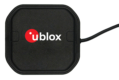
September 7, 2018 U‑blox launches multi-band antenna series for high-precision applications By GPS World Staff