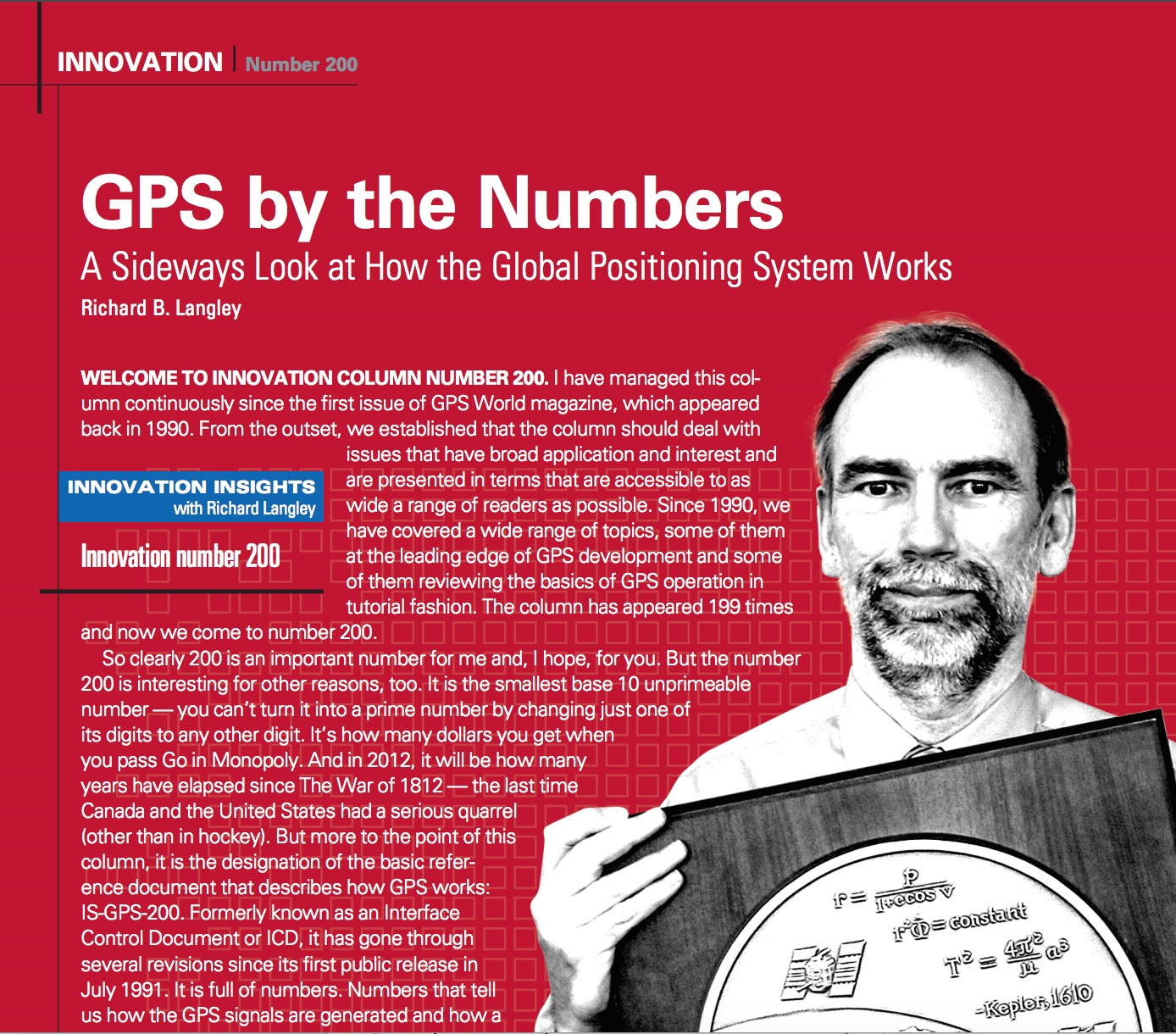
Skip to content

Archives

Frequency Electronics awarded $5.9M Lockheed contract for GPS IIIF clock qualification

March 22, 2019 - By

As a risk reduction effort for the U.S. Air Force’s GPS III Follow On (GPS IIIF) satellite program, Frequency Electronics Inc. has received a contract from Lockheed Martin Space, valued at $5.9 million, for the qualification of FEI’s Digital Rubidium Atomic Frequency Standard (DRAFS). The contract’s intent is to qualify FEI’s DRAFS for potential use on the new GPS IIIF satellites,... read more

Going Beyond. Visual line of sight, that is.

March 20, 2019 - By

Few commercial UAV operations would be able to inspect transmissions lines, pipelines or train tracks without beyond visual line-of-sight (BVLOS) capability, but these key pieces of infrastructure often situate close to or transit across population centers. Further, many population centers have airports and low-level air traffic. Any tools to keep drones away from air traffic during BVLOS operations will significantly... read more

Norway proves Russian interference

March 20, 2019 - By

Norway has electronic proof that Russian forces disrupted GPS signals during recent NATO war games, according to a report in Reuters news service. The Scandinavian country and North Atlantic Treaty Organization (NATO) member has demanded an explanation from its neighbor. “We recognize Russia’s right to exercise and train its capacities [but] it is not acceptable that this kind of activity... read more

Infrastructure and technology documentary series available from Topcon

March 20, 2019 - By

A series of documentary videos on automation and technology in the construction and agriculture industries covers drone inspection of infrastructure among other new trends. Filmed in the U.S., the Netherlands, United Kingdom, and Germany, the series of brief films produced by Topcon Positioning Group emphasizes how technological advancements have changed infrastructure — how it is designed, built and maintained —... read more

NovAtel further enhances Waypoint GNSS+INS post-processing

March 19, 2019 - By

NovAtel’s Waypoint Products Group has released version 8.80 of its GNSS and GNSS+INS post-processing software products, including Inertial Explorer, Inertial Explorer Xpress, GrafNav and GrafNet. All Waypoint customers with an active subscription that are within the support period qualify for the Waypoint 8.80 upgrade at no additional charge. Key features of the 8.80 release include: High-rate precise satellite orbit and clock corrections... read more

First light: Broadcast of L1C by GPS III

Less than three weeks after its launch, the first GPS III satellite, SVN74, started transmitting navigation signals. SVN74 uses the pseudorandom noise (PRN) code number G04 previously used by the almost 25-year-old Block IIA satellite SVN36. The L1 C/A, L1 P(Y), and L2 P(Y) signals of SVN74 have been tracked since Jan. 9 at 00:01 UTC. Activation of the L2C and... read more

SBG’s Horizon IMU equips for harsh-environment hydrography

March 18, 2019 - By

The Horizon fiberoptic gyro (FOG) inertial measurement unit (IMU) now forms part of SBG Systems’ Navsight Marine Solution, dedicated to hydrographers. Navsight is available at different levels of accuracy to meet the various application requirements and can be connected to various external equipment such as echo-sounders, lidar, and so on. Navsight Marine Solution already offered two levels of performance with... read more

Nearmap imagery wins business for solar installer

March 18, 2019 - By

High-resolution aerial maps from NearMap are helping Auric Solar, a residential and commercial solar power provider, accelerate its initial site assessments, develop a more complete and accurate view of properties, and create winning proposals. Auric accesses Nearmap imagery through the Aurora Solar platform, a solar sales and design software program. By utilizing Aurora software integrated with Nearmap imagery, Auric analysts... read more

This article is tagged with , , , , and posted in Latest News, Mapping