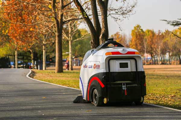
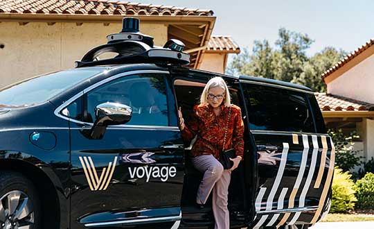
Skip to content

Archives

SiTime offers MEMS timing solutions for rugged GNSS

July 24, 2019 - By

SiTime Corp. has unveiled its Endura micro-electro-mechanical system (MEMS) timing solutions for aerospace and defense applications including precision GNSS, as well as field and satellite communications, avionics and space. The Endura products are engineered to provide high performance in harsh conditions — severe shock, vibration and extreme temperature — that are routinely experienced in these applications. SiTime offers customers 5... read more

This article is tagged with , , , , , , and posted in Defense, Latest News, OEM, Transportation

Jane Goodall Institute releases StoryMap highlighting chimp habitat conservation

July 24, 2019 - By

In collaboration with Esri and Blue Raster, the Jane Goodall Institute (JGI) released a StoryMap that highlights Jane Goodall’s research, her Tacare approach and chimpanzee habitat conservation. The StoryMap highlights how many remaining chimpanzee habitats are outside of protected areas, and how that habitat is in the care of local people and decision-makers. It also walks through JGI’s Tacare community-centered... read more

This article is tagged with , , , , , , and posted in Latest News

NASA program aids with disaster relief efforts

July 24, 2019 - By

Satellite imagery and mapping have proven to be critical technologies when it comes to disaster relief efforts. The NASA Earth Science Disasters Program has harnessed these technologies to help communities and governments recover from natural disasters like earthquakes, hurricanes and more. “[The goal of the program is to] try to prevent natural disasters or limit their impact and also help... read more

What happened when Galileo experienced a week-long service outage

Analysis of the Signal Outage By Fabio Dovis, A. Minetto, A. Nardin, Politecnico di Torino Department of Electronics and Telecommunications, E. Falletti, D. Margaria, M. Nicola, M. Vannucchi, LINKS foundation Following the issue by the Galileo Service Center of the Notice Advisory to Galileo Users (NAGU) reporting Service Outage for all the Galileo satellites, as curious Galileo users our team of... read more

How Planet uses satellite imagery for the oil and gas industry, road detection applications

July 22, 2019 - By

Planet’s Deven Desai explains how Planet uses satellite imagery to uncover data for the oil and gas industry, as well as for road detection, at the 2019 Esri User Conference in San Diego. read more

This article is tagged with , , , , , and posted in Videos

NASA Disasters Program offers satellite imagery, maps for disaster response

July 21, 2019 - By

Jeremy Kirkendall, senior GIS administrator for the NASA Disasters Program, gives GPS World an overview of the program at the 2019 Esri User Conference in San Diego. Watch this video to find out how satellite imagery produced by the program helps with disaster response efforts. read more

Galileo picks itself up and moves on

July 18, 2019 - By

Galileo Initial Services have been restored after a week-long signal outage, according to a statement released on July 18 by the European GNSS Agency (GSA). “Commercial users can already see signs of recovery of the Galileo navigation and timing services…although some fluctuations may be experienced until further notice.” After a signal outage that began on July 11, efforts to restore services... read more

Trimble launches Catalyst On Demand at Esri UC 2019

July 18, 2019 - By

Trimble’s Rachel Blair Winkler offers an overview of Trimble’s Catalyst On Demand, a usage-based service plan for Android phones and tablets for the company’s Catalyst GNSS receiver, at the 2019 Esri User Conference in San Diego. Learn more about Catalyst On Demand. read more

This article is tagged with , , , , and posted in Videos