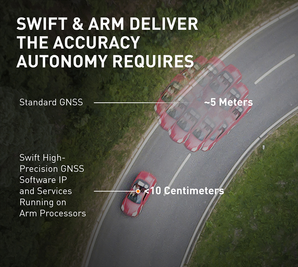
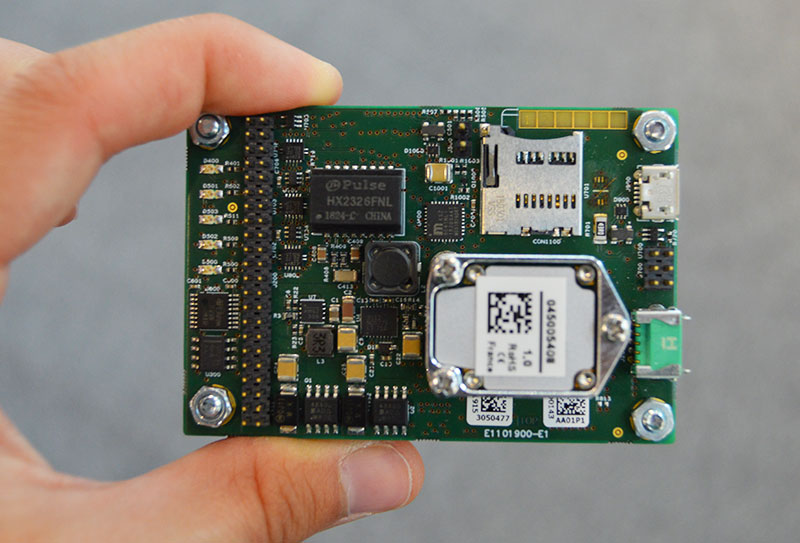
Skip to content

Archives

Pointfuse laser scanning software transforms digital construction workflows

September 12, 2019 - By

Pointfuse has released the latest version of its advanced point cloud processing software that converts the millions of individual measurements captured by laser scanning and photogrammetry. Featuring new streamlined classification to ensure maximum efficiency and multicore processing for unlimited conversion power, the new version of Pointfuse is set to transform workflows within digital construction, facilities management and virtual design applications.... read more

This is posted in Uncategorized

Pointfuse laser scanning software transforms digital construction workflows

September 12, 2019 - By

Pointfuse has released the latest version of its advanced point cloud processing software that converts the millions of individual measurements captured by laser scanning and photogrammetry. Featuring new streamlined classification to ensure maximum efficiency and multicore processing for unlimited conversion power, the new version of Pointfuse is set to transform workflows within digital construction, facilities management and virtual design applications.... read more

ViaLite’s latest GPS splitter designed to save rack space

September 11, 2019 - By

ViaLite’s new Local Integrated GPS Splitter was designed to minimize rack space. Suitable to applications requiring a fan-out of GPS/GNSS signals within a single local area, the unit can accept optical inputs from up to four antennas. Though it has a height of only one rack unit, the system is suitable for feeding timing and synchronization signals to single or... read more

This article is tagged with , , and posted in Latest News, OEM, Product Showcase

Septentrio introduces GNSS/INS system in rugged housing

September 11, 2019 - By

Septentrio has expanded its GNSS/INS portfolio with the AsteRx SBi, a new housed GNSS/INS receiver. The ruggedized AsteRx SBi fuses high-accuracy GPS/GNSS with a high-performance inertial sensor to provide reliable positioning and 3D orientation for machine control and logistic applications. Within its rugged, waterproof enclosure, a high-performance GPS/GNSS is coupled with an industrial-grade inertial sensor to provide high-accuracy, reliable positioning... read more

This article is tagged with , , , , and posted in Latest News, Machine Control/Ag

Racelogic introduces VBOX Touch GNSS datalogger

September 11, 2019 - By

The VBOX Touch from Racelogic is the first in a new generation of highly flexible, enhanced accuracy GNSS dataloggers. The powerful hardware can be used in many types of diverse automotive tests such as acceleration, braking, speed verification, tyre temperature monitoring, lap-timing and durability, according to the company. The VBOX Touch comes preloaded with a sophisticated performance application that covers... read more

This article is tagged with , , , and posted in Latest News, OEM

Flirtey ready for drone deliveries to U.S. homes

September 11, 2019 - By

Flirtey, a pioneer of the commercial drone delivery, has unveiled the Flirtey Eagle, along with a video of the next-generation delivery drone performing consumer and automated external defibrillator (AED) deliveries to homes. Flirtey’s system is designed to safely get packages to customers with the delivery goal of less than 10 minutes using drones. Along with the Flirtey Eagle, the aircraft... read more

This article is tagged with , , , , and posted in Latest News, UAV/UGV

Spirent unveils enhanced flagship simulator at ION GNSS+ 2019

September 11, 2019 - By

Updated GSS9000 Series takes a bow, joining range of test solutions on show Spirent Communications will unveil its enhanced GSS9000 Series GNSS constellation simulator at ION GNSS+ 2019 in Miami, which will take place Sept. 16–20. It joins Spirent’s already impressive range of test solutions on display at the world’s largest showcase of GNSS technology, products and services. “The industry... read more

NOAA and the search for deep-sea corals

September 11, 2019 - By

This article includes National Oceanic and Atmospheric Administration (NOAA) undersea camera livestreams and an interview with an undersea expedition coordinator. In a case of fortuitous happenstance, I found myself in an operations support center for an undersea expedition with two, large, flat screens mounted on a wall peering into the deep through the remote viewer slowly gliding through a dark blue... read more