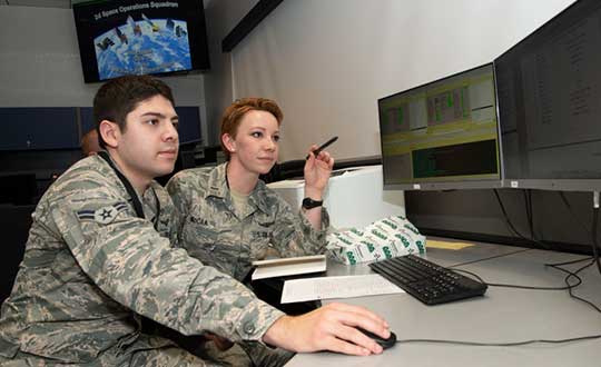
Skip to content

Archives

IWCE 2020 to highlight drones, 5G, artificial intelligence

January 16, 2020 - By

The International Wireless Communications Expo (IWCE), set to take place March 30 to April 3, will key in a number of industry topics, including 5G, FirstNet, drones, artificial intelligence, augmented reality, wearables and push-to-talk communications. IWCE will also feature a drone demonstration area and safe cities section. The event is designed for those in the critical communications industry, including first... read more

Research Roundup: Focus on maritime

January 15, 2020 - By

Of the 273 papers researchers presented this year at the Institute of Navigation’s annual ION GNSS+ conference, which took place in Miami on Sept. 16–20, the following five focused on maritime issues. Papers are available at www.ion.org/publications/browse.cfm. Automating the Sharing of Ocean Weather Data The Automatic Identification System (AIS) — mandatory for large ships and used by many mid-sized ones... read more

Seen & Heard: Pedestrian safety, canoe tracking

January 15, 2020 - By

“Seen & Heard” is a monthly feature of GPS World magazine, traveling the world to capture interesting and unusual news stories involving the GNSS/PNT industry. Keeping canoeists afloat The United Kingdom’s Hire a Canoe company has installed Kinesis trackers on its fleet to manage transport of clients to and from their water sport activities. Real-time traffic updates and live Estimated Time of... read more

Finding time: Accuracy test of Locata Network takes place at White Sands

January 15, 2020 - By

An accuracy test of the Locata Network — a non-GPS-based positioning system installed at the U.S. Air Force White Sands Missile Range in New Mexico — focused on timing down to the nanosecond, with impressive results. In 2018, the 746th Test Squadron (746 TS) tested its Non-GPS-Based Positioning System (NGBPS) at White Sands Missile Range as an alternative to GNSS... read more

Editorial Advisory Board Q&A: High-precision surveying and GPS III

January 15, 2020 - By

What improvements will GPS III bring to high -precision surveying? When? Will these improvements require any changes in equipment and/or processes? “The biggest impact of GPS III to high precision surveying will be a full constellation of L5 satellites. Triple frequency will bring faster convergence times and better accuracy in more difficult conditions. GPS III will better align with Galileo... read more

Janam unveils rugged tablet with u-blox inside

January 15, 2020 - By

The HT1 is a slim, light, powerful “Android Enterprise Recommended” tablet Janam Technologies, a provider of rugged mobile computers that capture data and communicate wirelessly, has introduced a powerful and advanced 8-inch rugged tablet. The HT1 is designed to improve line of business applications including put-away and replenishment, cross docking, shipping and receiving, inventory management, merchandising and clientele management. Besides... read more

Working together for a more navigable world

January 15, 2020 - By

“Diverse teams bring diverse ideas to the table, and that’s the best way to progress.” So said Professor Sheila Rowan, the UK government’s chief scientific advisor to Scotland, opening the Royal Institute of Navigation’s 2019 International Navigation Conference. Professor Rowan’s comments set the scene perfectly. Success in navigation is no longer about just getting a fix, or even an accurate... read more

2nd Space Operations Squadron sets first GPS III healthy and active

January 15, 2020 - By

By Staff Sgt. Matthew Coleman-Foster, 50th Space Wing Public Affairs The 2nd Space Operations Squadron set Satellite Vehicle Number-74 (SVN-74, the first GPS III satellite) as healthy and active to users on the 2nd SOPS operations floor. Setting SVN-74 healthy and active means the satellite will be available for use by military and civilian GPS users around the world as... read more