February 12, 2020 Innovation: Integrity for safe navigation By Landon Urquhart, Rodrigo Leandro, and Paola Gonzalez
February 12, 2020 L3Harris passes critical design review for digital GPS IIIF payload By Tracy Cozzens
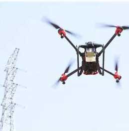
February 11, 2020 Xag creates fund for drones disinfection program to fight coronavirus By Allison Kral
February 11, 2020 Apple applies for license to install GPS testing equipment at Apple Park By Allison Kral