April 24, 2020 Horizon realizes benefits of WAAS; Delta lands GLS approach in Dominican Republic By Allison Kral
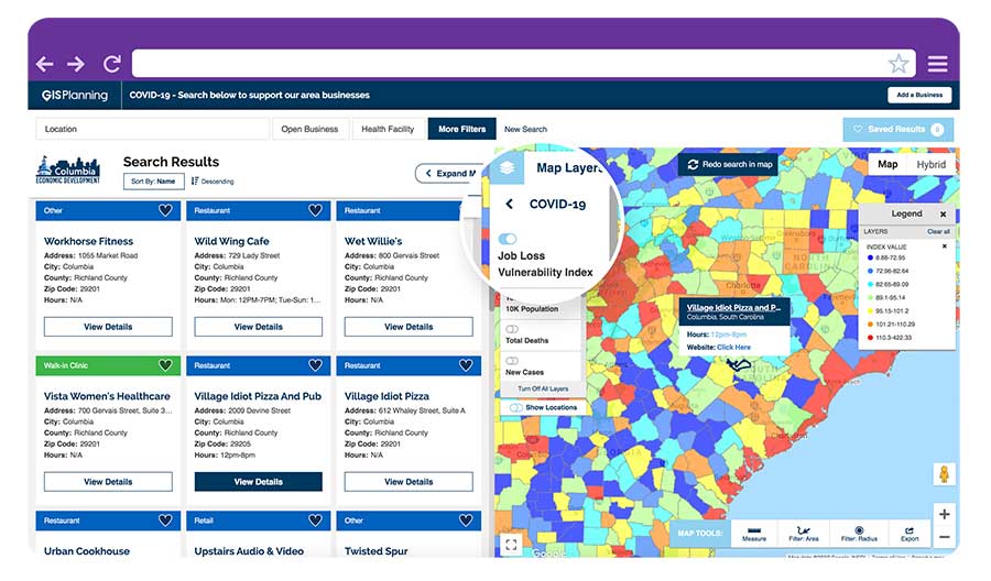
April 22, 2020 GIS Planning data tool provides updates on open businesses amid COVID-19 By Tracy Cozzens