December 4, 2020 Reps. Thompson, Peterson and Comer push leadership to delay Ligado application By GPS World Staff
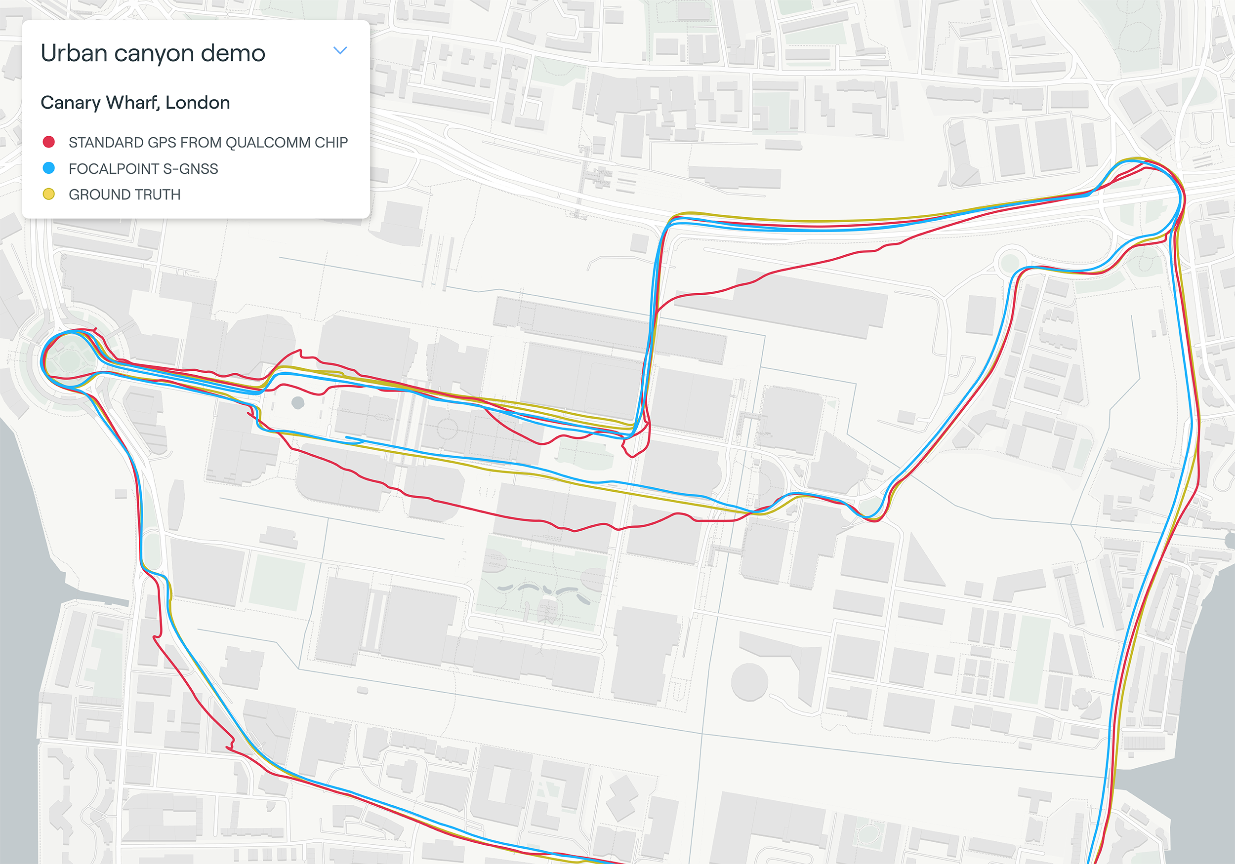
December 4, 2020 U-blox signs deal with UK start-up for cutting-edge GNSS technology By Tracy Cozzens
December 3, 2020 Open PNT Industry Alliance launched to strengthen national resilience By Tracy Cozzens
December 3, 2020 Royal Institute of Navigation issues call for papers for Navigation 2021 conference By Allison Kral
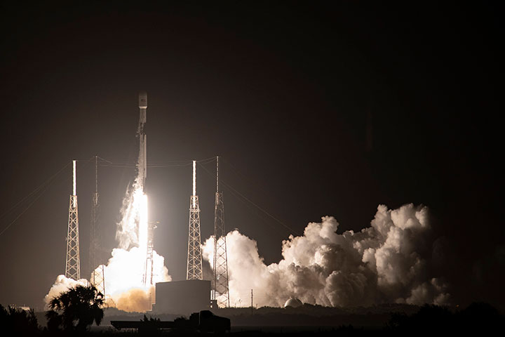
December 2, 2020 GPS III SV04 receives operational acceptance, 1 more needed for M-code By Tracy Cozzens