January 13, 2021 NASA’s Artemis program will need lunar spatial reference system By William Tewelow, GISP
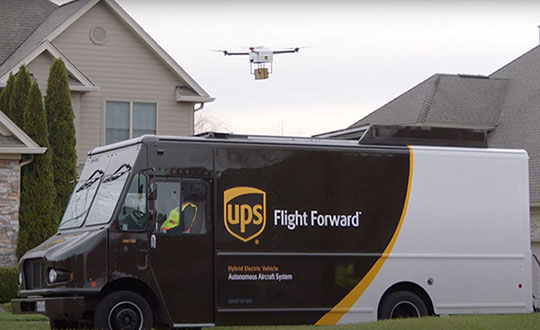
January 12, 2021 Verizon’s Skyward and UPS announce connected drone delivery at CES 2021 By Tracy Cozzens
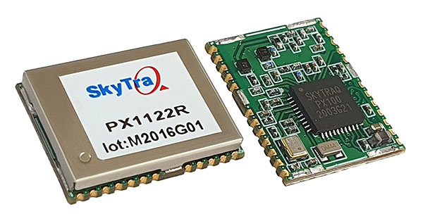
January 11, 2021 SkyTraq offers multi-band GNSS receiver with 1-cm position accuracy By Tracy Cozzens