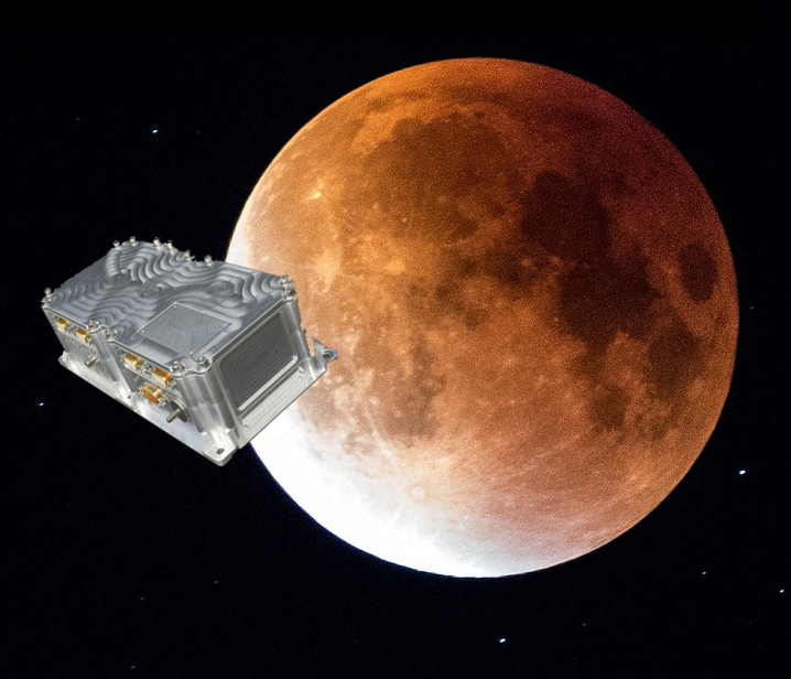
Skip to content

Archives

Kaarta and EXI join to address UXO mapping in GNSS-denied environments

May 19, 2021 - By

Kaarta and Exploration Instruments have announced a collaboration and distribution agreement to address the needs of the unexploded ordnance (UXO) and geophysical industries. Kaarta provides real-time mobile 3D reality capture, and Exploration Instruments LLC (EXI) has expertise in near-surface geophysical equipment and applications. EXI now offers rental, sales, and training for Kaarta’s SLAM-based mobile mapping systems and the integration with... read more

1Spatial granted UK patent for spatial data validation

May 19, 2021 - By

1Spatial, a company with location master data management (LMDM) software and solutions, has been granted a UK patent for modification and validation of spatial data. The UK patent protects the use of 1Spatial’s rules engine technology, which is used in products such as 1Integrate and 1Data Gateway, further strengthening the group’s international patent coverage, which includes a U.S. patent for... read more

Skyward collaborates with Pix4D mapping and modeling

May 19, 2021 - By

Skyward, a Verizon company, has announced its integration with Pix4D, a photogrammetry software suite for drone mapping. The partnership gives customers the ability to turn drone data into 2D maps and 3D models. Enterprises and drone pilots can now plan flights, receive approval to fly in controlled airspace with LAANC, fly with Skyward’s InFlight ground control station, and process data using Pix4D... read more

Trimble introduces VRS Now Correction Services to Norway

May 19, 2021 - By

Trimble has expanded its VRS Now correction services across mainland Norway for a total European footprint of 2.5 million square kilometers. Trimble has expanded its VRS Now correction services across mainland Norway and most outer islands. As part of an ongoing global correction service strategy, the company is adding more than 400,000 square kilometers (156,000 square miles) to its European... read more

This article is tagged with , , , and posted in Latest News, Survey

IIT Roorkee offers free online course on GNSS and DEMs

May 19, 2021 - By

The Indian Institute of Technology (IIT) Roorkee is offering a free online course on GNSS and Applications on the NPTEL platform. The four-week course will provide a basic understanding about digital elevation models (DEMs) and their applications in civil engineering and Earth sciences. During the course, various DEMs and their sources, generation techniques, derivatives, errors and limitations will be discussed... read more

SpacePNT to develop GPS/Galileo receiver for Lunar Pathfinder spacecraft

May 19, 2021 - By

Swiss company SpacePNT will develop an advanced spaceborne GPS/Galileo receiver to demonstrate for lunar navigation and positioning. The European Space Agency (ESA) has selected SpacePNT to develop an advanced spaceborne GPS/Galileo receiver to demonstrate the use of terrestrial satellite navigation signals or real-time and autonomous orbit determination and positioning, navigation and timing (PNT). The receiver will be carried aboard the... read more

Javad GNSS launches TRIUMPH-3 receiver

May 19, 2021 - By

Javad GNSS has launched the TRIUMPH-3 receiver for surveyors and geodesists. It is capable of efficient tracking even in difficult conditions. It can track all current signals and is ready for any future satellites. TRIUMPH-3 is designed to operate as a base together with TRIUMPH-LS and TRIUMPH-LS Plus to efficiently accomplish any geodetic job. Its real-time kinematic (RTK) system communicates... read more

This article is tagged with , , , and posted in Latest News, Product Showcase, Survey

Integrity flies on Mars, while ‘certifiable’ drone level sought in the United States

May 18, 2021 - By

This month, the four-pound Integrity dual-rotor UAV on Mars continues to fly and may be moving into a scouting role. Plus, there are continuing efforts to move UAV electronics towards a “certifiable” level to support integration in regular airspace. Finally, a newly launched parcel delivery drone has increased carrying capacity. The excitement around flying an unmanned helicopter on Mars is... read more