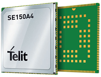
September 22, 2021 Broadcom launches its lowest power GNSS receiver for mobile, wearables By Tracy Cozzens
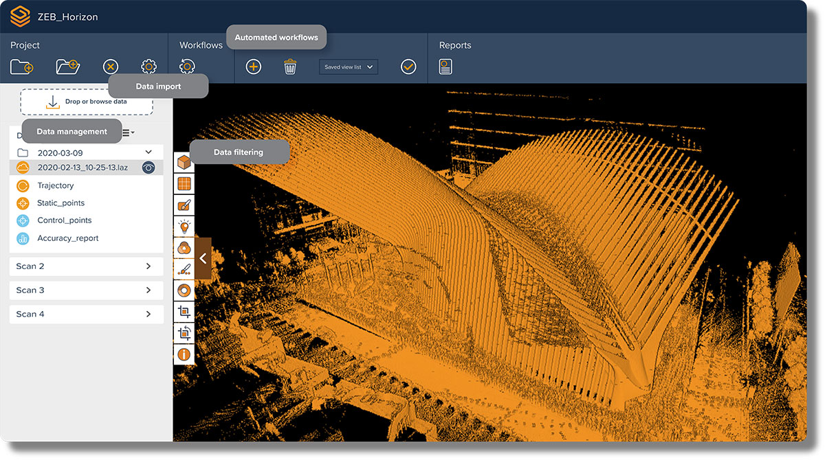
September 22, 2021 GeoSLAM launches its latest software offering Connect 2.0 at Intergeo By Tracy Cozzens
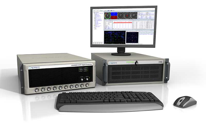
September 22, 2021 Spirent and Qascom collaborate on OSNMA simulation tools for Galileo By Tracy Cozzens
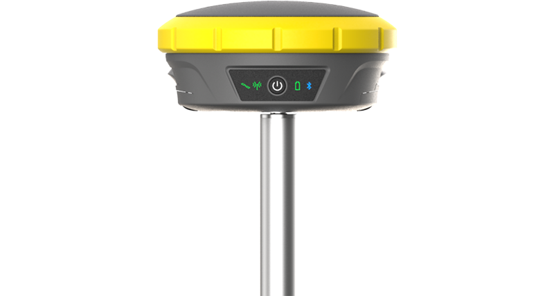
September 20, 2021 Hemisphere GNSS announces Outback Guidance MaveriX for precision ag By Tracy Cozzens