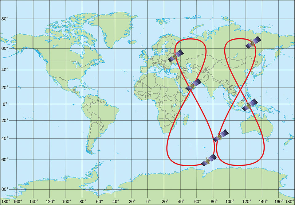
January 18, 2022 Directions 2022: A new epoch for GLONASS By Sergey Karutin, Nikolay Testoedov, and Sergey Donchenko
January 13, 2022 It’s Galileo time: Options for crystal oscillators in OSNMA-enabled receivers By Francesco Ardizzon, Nicola Laurenti, Carlo Sarto, and Giovanni Gamba
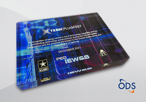
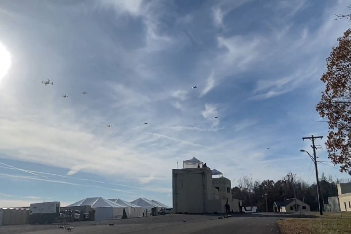
January 11, 2022 US Army selects Orolia Defense & Security as winner in XTech Plugfest By Tracy Cozzens