February 15, 2022 Space Codesign obtains ESA/NAVISP funding for spaceborne GNSS receiver By Tracy Cozzens
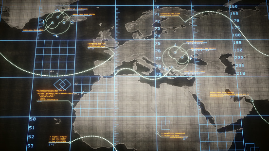
February 10, 2022 DOD tasks Orbital Insight to help identify intentional GNSS disruptions By Tracy Cozzens
February 9, 2022 Europe’s Project NAV-SSHE to demo GNSS + 5G for critical applications By Tracy Cozzens