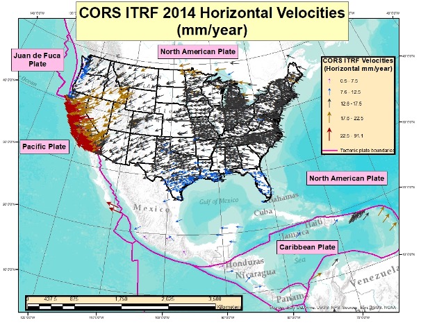
February 2, 2022 The effects of tectonic plate movement on the modernized 2022 NSRS By David B. Zilkoski
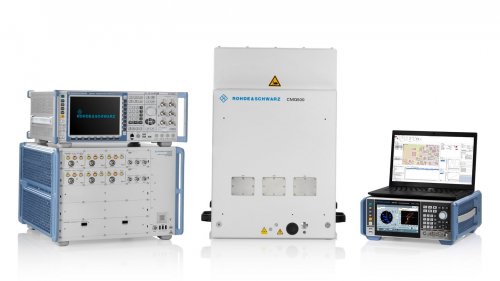
February 1, 2022 Rohde & Schwarz provides testing to meet Europe’s E112 requirements By Tracy Cozzens
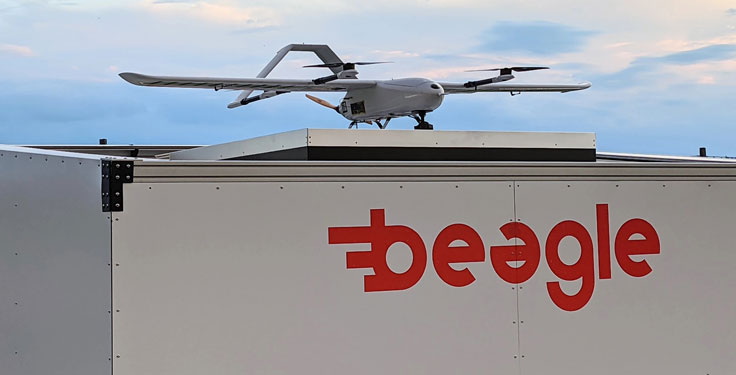
February 1, 2022 Beagle Systems launches first station in country-wide drone network By Tracy Cozzens
February 1, 2022 Research firm Intqlabs files patent on magnetic field location tech By Tracy Cozzens
February 1, 2022 Innovation: Self-driving cars in urban neighborhoods By Kana Nagai, Matthew Spenko, Ron Henderson, Boris Pervan, and Richard B. Langley