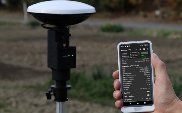
Skip to content

Archives

Thank you for registering

April 22, 2022 - By

Thank you for registering for the upcoming webinar, “Exploring Advancements in Open-Source Software Defined Architecture for PNT” sponsored by Orolia. A link to the live event will be sent to you two hours before the event. Your personalized event URL will be automatically generated by the ON24 system. To ensure receipt of the email, please whitelist this email address by... read more

This is posted in Uncategorized

ComNav releases unmanned aerial mapping package

April 22, 2022 - By

ComNav Technology has released a powerful and reliable UAV aerial mapping solution capable of centimeter-level positioning, providing high-precision photos and data for mapping professionals. Based on the company’s K8 platform, the package consists of an E300 real-time kinematic (RTK) drone, flight-control software and an optional camera.   Featuring high accuracy, strong compatibility, long endurance, high performance and an easy workflow, the... read more

This article is tagged with , , , , and posted in Latest News, Mapping, Survey, UAV/UGV

TomTom and SWARCO enter strategic partnership for urban mobility

April 22, 2022 - By

TomTom and SWARCO have entered a strategic partnership to enable customers to improve their mobility-management operations by using floating car data-based traffic services to complement physical sensor hardware already installed in the field. The high-quality traffic services from TomTom, generated from millions of anonymously collected GPS data from apps, cars and devices, are now integrated and available for public entities... read more

DeepRoute.ai unveils autonomous ‘Robotaxi’ fleet

April 22, 2022 - By

DeepRoute.ai, an international autonomous driving technology company, is offering a Robotaxi fleet equipped with its Level 4 autonomous driving solution, Driver 2.0. Level 4 autonomous vehicles do not require human interaction in most circumstances, but a driver still has the option to manually override. According to DeepRoute.ai, its advancement in autonomous technology previews the future of Level 4 consumer vehicles.... read more

Honeywell demos alternative nav in GPS-denied environments

April 22, 2022 - By

Stringent testing on both fixed-wing plane and helicopter proves reliability and performance Honeywell has successfully demonstrated several advanced alternative navigation technologies intended to help ensure seamless navigation, even when GPS signals are blocked, interrupted or unavailable. Testing took place on both an Embraer E170 aircraft and an AgustaWestland AW139 helicopter. Alternative navigation systems use sensors such as cameras, star trackers, radars... read more

The Moon: Where no satnav has gone before

April 20, 2022 - By

News from the European Space Agency The test version of a unique satellite navigation receiver has been delivered for integration testing on the Lunar Pathfinder spacecraft. The NaviMoon satnav receiver is designed to perform the farthest ever positioning fix from Earth, employing signals that will be millions of times fainter than those used by smartphones or cars on Earth. “This... read more

U-blox tech applied in Japan and Oceania for high-precision positioning

April 20, 2022 - By

BizStation,  a database company based in Japan, and u-blox have announced a highly accurate, compact and low-cost high-precision positioning solution for markets in East Asia and Oceania. Featuring two u-blox modules, the solution delivers centimeter-level positioning accuracy where mobile network service is unavailable, including in maritime offshore surveying, agricultural and industrial vehicle guidance, and UAVs. BizStation’s precise point positioning (PPP)... read more

Iris Automation launches ground-based surveillance system for UAVs

April 20, 2022 - By

Iris Automation has announced the commercial availability of Casia G, a ground-based version of its detect-and-avoid surveillance solution. Using the same patented artificial intelligence (AI) and computer-vision technology as Iris Automation’s onboard solutions, Casia G provides 360° optical detection with alerts. It enables operators to avoid both cooperative and non-cooperative aircraft for safe beyond-visual-line-of-sight (BVLOS) flight. Casia G creates a... read more