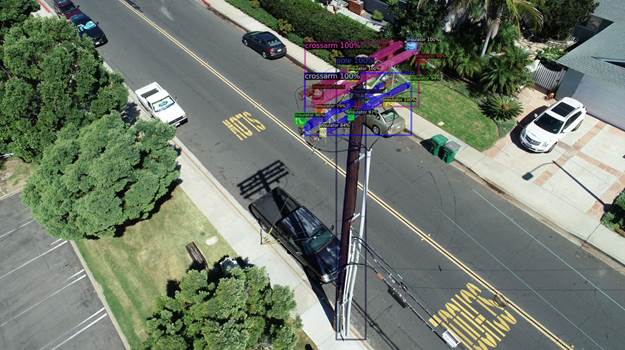
November 28, 2022 NV5 Geospatial uses remote sensing for utility distribution management By Tracy Cozzens
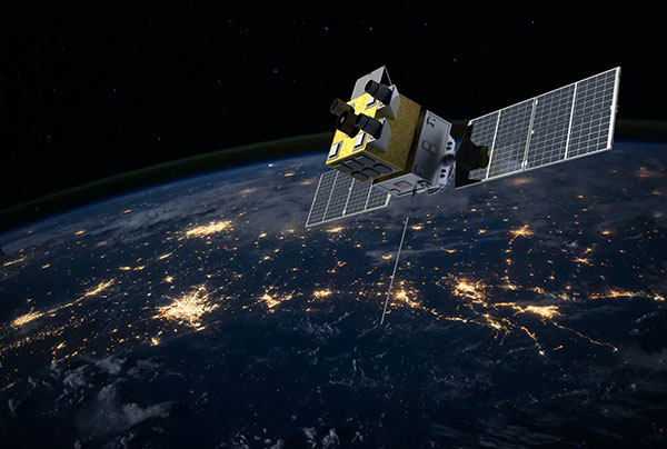
November 28, 2022 Xplore and UP42 partner to bring satellite data to geospatial customers By Tracy Cozzens
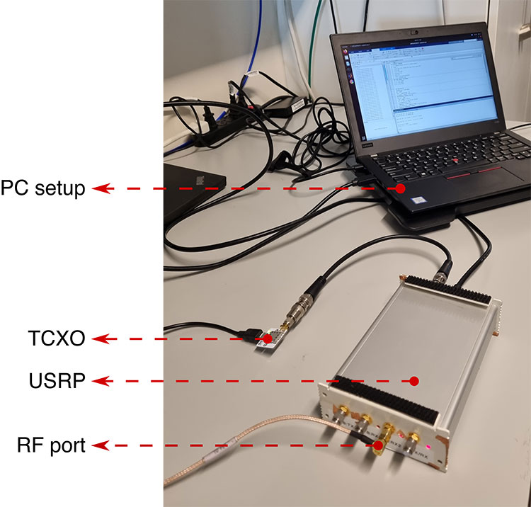
November 22, 2022 Innovation: Software-defined radios for GNSS By Joan Bernabeau, Nicolas Gault, Yafeng Li, Dennis Akos, and Richard B. Langley
November 18, 2022 EUSPA to hold GNSS Signal Simulator Manufacturers Forum in December By Marie Emerick