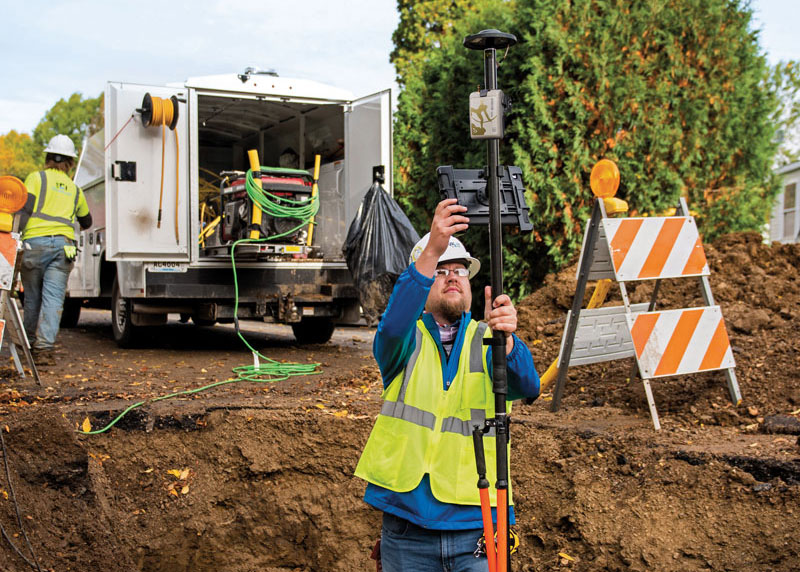
Aligning bricks and models
An all-of-the-above approach lead to the novel design of a rover system that can serve a wide variety of field surveying and mapping applications. read more
GMV is using high-resolution optical imagery to map the population and infrastructure of several cities in Turkiye after the 7.8 magnitude earthquake. read more
Maxar Technologies shared via Twitter satellite imagery from the aftermath of the train derailment and explosion in East Palestine, Ohio. read more
The addition of scanning capabilities to robotic total stations enables surveyors to operate two instruments simultaneously, with the same field data collector and software. read more
Minnesota-based Ellingson Companies provides solutions for complex water, distribution, utility and infrastructure management projects. read more
Quectel Wireless Solutions’ LC76G GNSS module has been named a Product of the Year by Electronic Products. read more
DroneShield and Pierce Aerospace have partnered to integrate Pierce Aerospace’s Flight Portal ID remote ID technologies into DroneShield’s counter-unmanned aerial system (C-UAS) and command and control systems (C2), which includes DroneSentry-C2. read more
Follow Us