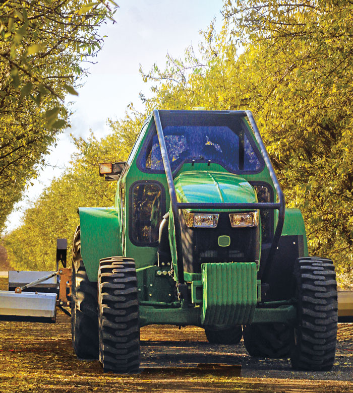
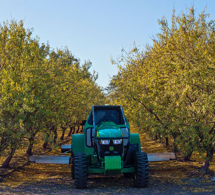
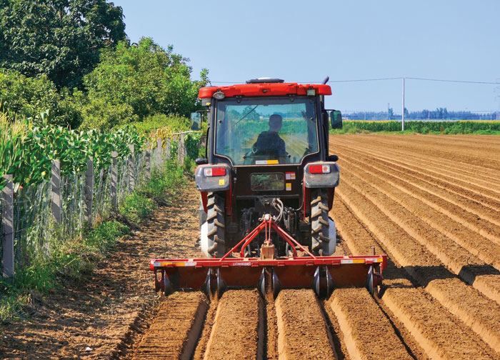
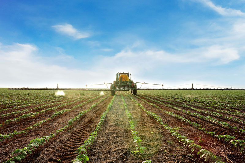
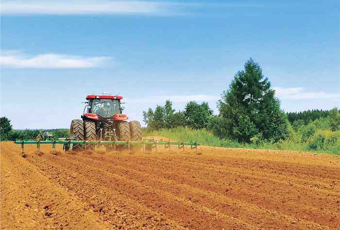
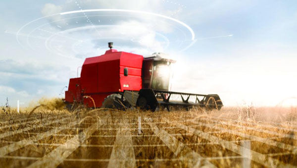
DJI launches 3D model editing software
DJI has launched DJI Modify, its first intelligent 3D model editing software. It can be integrated with DJI’s enterprise UAVs and 3D modeling and mapping software, DJI Terra. read more
NASA researchers at Langley Research Center in Hampton, Virginia, have successfully flown multiple UAVs beyond visual line of sight (BVLOS) with no visual observer. read more
ComNav Technology has introduced its new handheld P6H solution. The device is designed for GIS data collection and outdoor operations. read more
Archeologists have discovered a vast and highly complex system of ancient cities dating back nearly 3,000 years in the Amazon rainforest. Complete with a complex network of farmland and roads, the discovery is the oldest and largest of its kind in the region. read more
Techtree Innovation has launched AROUND, a high-precision, high-resolution 3D geospatial map platform designed to improve the quality and accuracy of existing 3D maps. read more
Matteo Luccio asked Jason O’Flanagan, co-founder and CEO of Seirrowon Labs — which specializes in robotic vehicle control, electronics hardware and firmware development — about the company’s collaboration with u-blox on precision agriculture. read more
An extended interview with Jason O’Flanagan, co-founder and CEO of Seirrowon Labs — which specializes in robotic vehicle control, electronics hardware and firmware development — about the company’s collaboration with u-blox on precision agriculture. read more
Follow Us