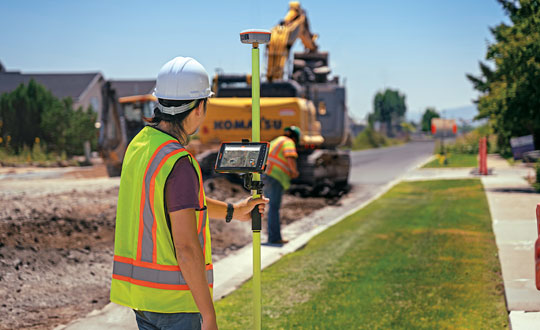
February 27, 2024 Aligning the trades: GNSS for architecture, engineering and construction By Matteo Luccio
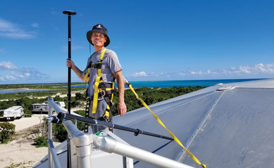
February 27, 2024 Eos Positioning Systems: Building a System to Build an Island Resort By Matteo Luccio