September 16, 2024 Surveyors join forces to complete two geodetic leveling projects By Jeff Olsen and Bob Kunes
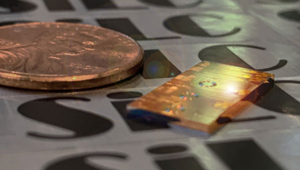
September 12, 2024 Honda invests in SiLC Technologies to develop FMCW lidar solutions By Jesse Khalil
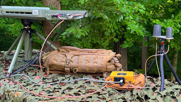
September 12, 2024 Advanced Navigation, Hanwha Defense Australia and Hanwha Aerospace advance military navigation By Jesse Khalil
September 11, 2024 Skylark Labs releases aerial reconnaissance and elimination system By Jesse Khalil