Listen to this content
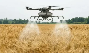
DroneDeploy, an aerial and ground reality capture and robotics platform, has entered a strategic partnership with the GEODNET Foundation to enhance enterprise UAV capabilities by providing access to high-precision positioning data.
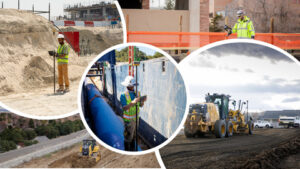
The partnership will grant DroneDeploy customers access to GEODNET‘s extensive network of 10,000 registered stations. This access will significantly improve the accuracy of UAV surveys, underground utility mapping and documentation for various industries, including construction, mining, energy, and utilities, according to DroneDeploy. The agreement also includes provisions for DroneDeploy to work with its users to establish additional GEODNET stations in areas currently lacking coverage, further expanding the network’s reach.
“Today’s affordable enterprise drones support sophisticated RTK and PPP survey-grade workflows; however, affordable access to RTK base-station data remains a barrier to efficient usage of these powerful capabilities,” said James Pipe, chief product officer at DroneDeploy. “DroneDeploy is pleased to partner with GEODNET and to offer integrated access to GEODNET’s rapidly growing RTK network.”