Listen to this content
“Seen & Heard” is a monthly feature of GPS World magazine, traveling the world to capture interesting and unusual news stories involving the GNSS/PNT industry.
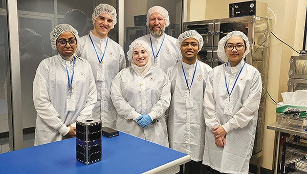
UNB students prepare for second satellite mission
The CubeSat team at the University of New Brunswick (UNB) is developing a second satellite after its first, VIOLET, failed to communicate with Earth. The team is refining its design based on lessons learned from the initial mission. VIOLET, deployed in 2024, was created through a partnership between UNB, the Université de Moncton and the New Brunswick Community College as part of the Canadian Space Agency’s CubeSat Project. This initiative provides students with hands-on experience in designing, building, testing, launching and operating miniature satellites.
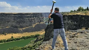
GPS saves 190 airline passengers

GPS technology played a crucial role in preventing disaster during an EasyJet flight, The Daily Mail reported. As the Airbus A320 descended toward Hurghada, Egypt, it approached dangerously close to a mountain range, flying at an altitude of 3,100 ft — just 770 ft above the peak of the mountain. The Ground Proximity Warning System, which relies on GPS-enabled terrain data, alerted the cockpit with warnings such as “pull up, terrain ahead.” This alarm prompted the pilot to perform an emergency maneuver by pulling up the joystick to level off the plane, narrowly avoiding collision and saving all 190 passengers on board.
Gulf of America’ name change leaves decisions for map creators
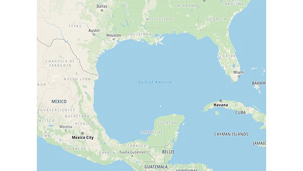
With the U.S. government now recognizing the Gulf waters as the “Gulf of America” and not the “Gulf of Mexico,” TomTom is introducing a U.S. geopolitical view for its users in the United States; they will see “Gulf of America.” Translations will be available in English, Spanish, French and German, and users searching for “Gulf of Mexico” will find the “Gulf of America.” Map users outside of the United States will see the default map view showing the “Gulf of Mexico.” Users searching for “Gulf of America” will find the existing “Gulf of Mexico” feature. All users will be able to change the view based on their preferences
New ‘surveyor’ app for improved mapping accuracy
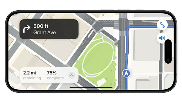
Apple launched the Surveyor app, a tool designed to enhance the accuracy of Apple Maps by collecting real-world mapping data. According to Apple, Surveyor relies on partner companies and users to gather data along assigned routes. The app focuses on capturing detailed information such as street signs, traffic signals and roadside features, which are then transmitted to Apple for precise map updates. By leveraging community-driven data collection, Apple aims to refine its mapping ecosystem and keep critical details current.