Listen to this content
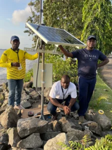
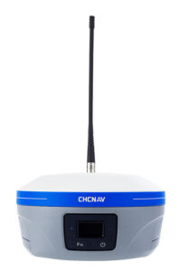
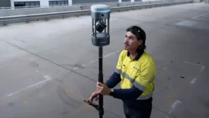
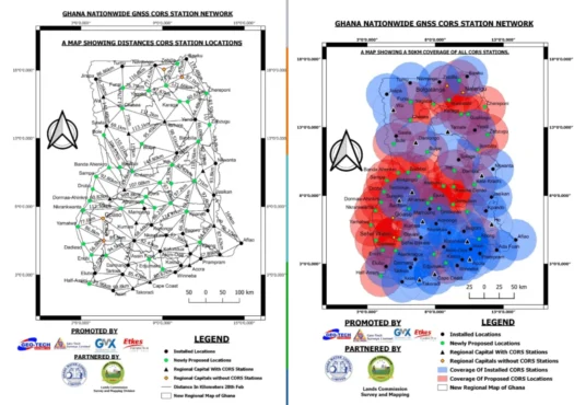
Ghana Lands Commission, through its Survey and Mapping Division (SMD), in collaboration with the Licensed Surveyors Association of Ghana (LiSAG) and GMX Systems Ghana Limited, has launched a nationwide observation exercise for Ghana’s GNSS Continuously Operating Reference Station (CORS) Network.
This initiative is a major milestone in modernizing the country’s geospatial infrastructure and improving land administration.
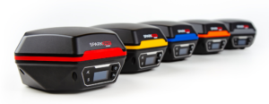
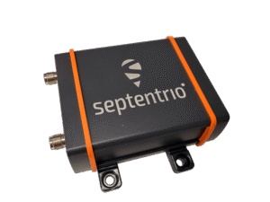
The exercise aims to integrate more than 60 newly established CORS stations into the national geodetic framework, consolidating Ghana’s Grid Coordinate System. The partners plan to expand the network to 100 stations before the end of the year.
With a modern CORS network, surveyors and spatial data users will have 24/7 access to high-precision data, improved efficiency and cost savings, while aligning Ghana with international geospatial standards.
It will improve accuracy for land records, agriculture, disaster management, infrastructure development, and revenue generation for the Lands Commission. The observation will be rolled out in three phases — Southern, Middle, and Northern zones — to ensure systematic coverage and data management.