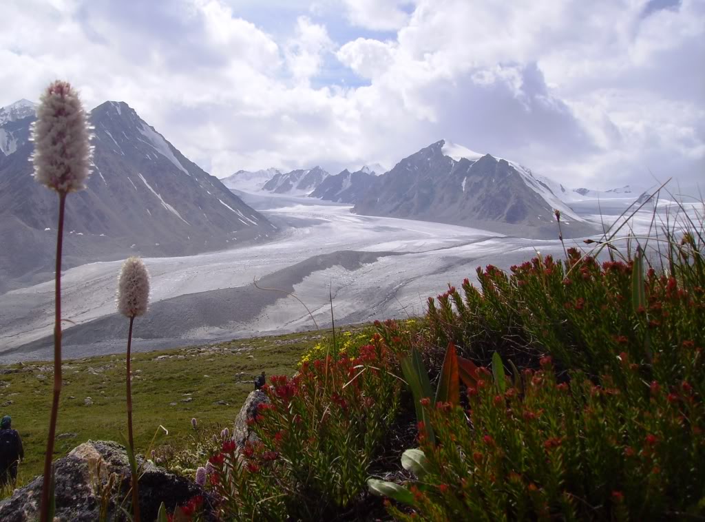
Mongolia’s highest peaks remeasured with GNSS

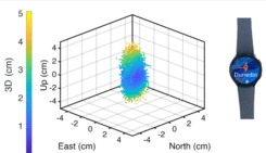
The height of Mongolia’s highest mountain has been re-measured using high-precision GNSS instruments, reports The Star. The update was conducted by the Mongolia’s General Authority for land administration geodesy and cartography, the National Climbing Federation and professional organizations.
The measurements were taken in August and September with GNSS equipment.
The peak known as Tavan Bogd has historically been recorded at different elevations: some sources list it as 4,104 meters, while the 1980 Resolution No. 149 of the Council of Ministers cites 4,082 meters. The new geodetic measurement places the tripoint or summit at 4,081 meters.
Mount Khuiten, generally accepted as Mongolia’s highest point, has been cited in textbooks and other sources as 4,374 meters (occasionally 4,352 meters). According to the new GNSS measurement, its height is determined to be 4,351 meters.
Mount Munkhkhairkhan has also seen varying reported heights. The 1980 resolution lists it as 4,204 meters; other sources have claimed 4,362 meters. The new 2025 measurement indicates it is 4,196 meters.
Geodetic engineers O.Khosbayar, O. Purevdorj and E. Uranbolor conducted the measurements. For part of the fieldwork, they climbed Mount Munkhkhairkhan and Khar An in a 21-hour effort.


About the Author: Tracy Cozzens
Tracy Cozzens has been with GPS World magazine in varying capacities since 2006, wearing many hats during her tenure. She has worked in government, for non-profits, and in corporate communications, editing a variety of publications for audiences ranging from federal government contractors to teachers.


Subscribe to GPS World
If you enjoyed this article, subscribe to GPS World to receive more articles just like it.


Follow Us