Listen to this content
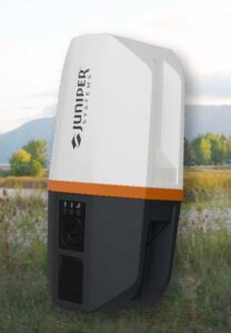
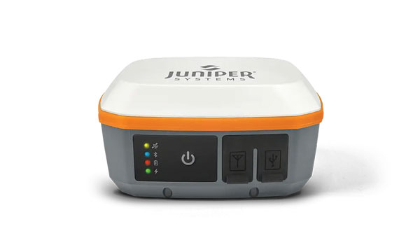
Juniper Systems is partnering with Point One Navigation to enable Juniper’s Geode GNSS receivers to achieve seamless, centimeter-level accuracy through Point One’s Polaris RTK corrections network.
The partnership will deliver integrated, field-ready computing and high-precision positioning solutions for demanding industries across the U.S., Europe and globally. By combining Juniper’s rugged mobile devices with Point One’s professionally managed Polaris RTK corrections network, users will benefit from unparalleled accuracy, increased field uptime, and reliable operation even in harsh conditions, the companies said.
Point One’s Polaris RTK corrections network, with thousands of actively monitored base stations, provides critical positioning in applications such as environmental sciences, utilities, construction and geospatial mapping. When integrated with Juniper Systems’ Geode GNSS receivers, the result is a reliable solution for collecting highly accurate data in remote locations, the companies said.
The partnership is already underway, with collaboration on new product packages, regional support, and joint outreach initiatives planned throughout 2025. Customers will benefit from coordinated service, expert guidance, and access to bundled solutions tailored to their operational needs.