Listen to this content
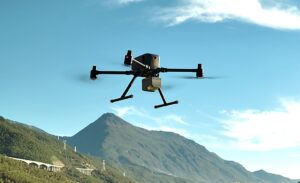
NTNU researchers have built SmartNav, a system that overcomes urban GPS errors using satellite corrections and Google’s 3D data. It achieves near-centimeter precision, paving the way for safer, more reliable self-driving cars.
Researchers at the Norwegian University of Science and Technology (NTNU) have created SmartNav, combining satellite corrections, wave analysis, and Google’s 3D building data for remarkable precision. Their method achieved accuracy within 10 centimeters during testing, and could make reliable urban navigation accessible and affordable worldwide, including autonomous vehicles.
The paper is published in the Journal of Spaial Sciences, DOI: 10.1080/14498596.2025.2536567.
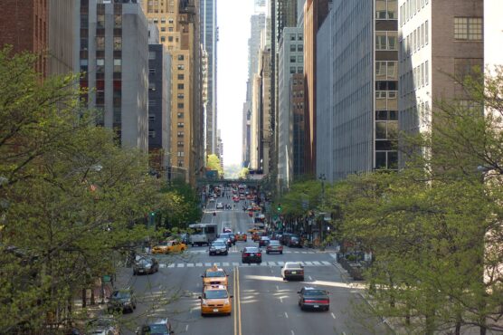
“Cities are brutal for satellite navigation,” explained Ardeshir Mohamadi. “In cities, glass and concrete make satellite signals bounce back and forth. Tall buildings block the view, and what works perfectly on an open motorway is not so good when you enter a built-up area.”
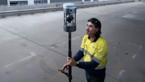
Mohamadi, a doctoral fellow at NTNU, is researching how to make affordable GPS receivers much more precise without depending on expensive external correction services. “For autonomous vehicles, this makes the difference between confident, safe behavior and hesitant, unreliable driving. That is why we developed SmartNav, a type of positioning technology designed for urban canyons,” Mohamadi said.
To solve this problem, the researchers combined several technologies to correct GPS signals, resulting in a computer program that can be integrated into the navigation system of autonomous vehicles. The software developed by the researches uses PPP-RTK (precise point positioning – real-time kinematic), which combines precise corrections with satellite signals. The European Galileo system now supports this by broadcasting its corrections free of charge.
An assist from Google
Meanwhile, Google launched a new service for its Android customers that provides 3D models of buildings in almost 4,000 cities around the world. The company is using these models to predict how satellite signals will be reflected between the buildings, allowing users to see if they are walking on the correct side of he street.
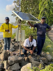
The researchers were able to combine all these different correction systems with algorithms they had developed. When they tested it in the streets of Trondheim, they achieved an accuracy better than 10 centimeters 90 percent of the time.
The use of PPP-RTK will also make the technology accessible to the general public because it is a relatively affordable service.
“PPP-RTK reduces the need for dense networks of local base stations and expensive subscriptions, enabling cheap, large-scale implementation on mass-market receivers,” Mohamadi said.