No audio available for this content.
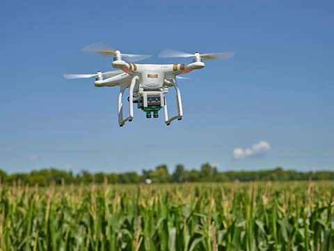 Elevation variance maps are now available within the Sentera AgVault platform, offering agronomists, crop consultants and growers additional field insights.
Topography and elevation data helps agriculture professionals increase operating efficiencies when building variable rate prescriptions, creating drainage or land-leveling plans, and designing subsurface drainage.
Elevation maps are ordered within AgVault and are delivered as both a color-mapped topographic map image and a set of industry-standard shapefiles.