Listen to this content
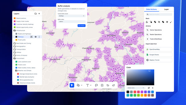
Atlas, a European cloud-based GIS platform, has introduced several new features aimed at simplifying geospatial workflows for teams without requiring coding expertise. The centerpiece of this launch is the Workflows engine, which allows users to visually design and automate spatial analysis processes — such as filtering data, performing calculations and updating layers — without writing code. By streamlining these tasks into automated chains, the feature seeks to reduce the time and effort traditionally spent on repetitive scripting.
Relations, a feature designed to connect datasets for smarter app development, enables users to link related data points, such as inspections or measurements, directly within the platform. Atlas also released Forms, a tool for structured field data collection, and Mobile Views, which allows users to build interactive mobile map applications. These tools aim to provide comprehensive geospatial capabilities for teams, eliminating the need for specialized development resources.
The Atlas platform offers real-time collaboration and no-code solutions for spatial analysis, automation, and app building. It as more than 10,000 users in 172 countries.


