A new angle on mapping cliffs on California’s shore
March 26, 2021
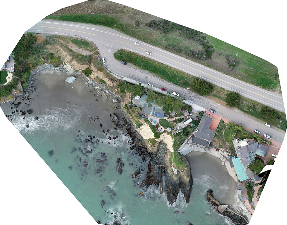
Cliff surveys are traditionally performed with fixed-wing aircraft that collect nadir photos. However, a photogrammetry company accurately triangulated […]
Read More
Cliff surveys are traditionally performed with fixed-wing aircraft that collect nadir photos. However, a photogrammetry company accurately triangulated […]
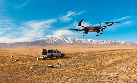
In September 2019, the Xinjiang Institute of Ecology and Geography conducted a nine-day project on the Heishan Mining […]
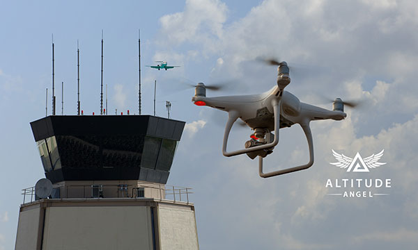
Altitude Angel, a unified traffic management (UTM) technology provider, is bringing to market airspace management solution GuardianUTM Enterprise. […]
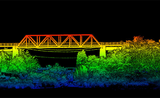
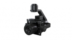
Oxford Technical Solutions has released the xNAV650, the latest in its line of inertial navigation systems (INS), suitable […]

Why permissions and regulations are an important part of workflows By Pierre-Alain Marchand Regulatory Compliance Manager, senseFly Now […]

With a very good PNT device already installed for flying the aircraft, why not just tap into that […]
Phase One, a developer of digital imaging technologies, has announced the P3 Payload, a versatile solution designed for […]

It’s hard to pick out an outstanding story or two this month from the dozens of new or […]


Follow Us