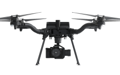
Esri Site Scan, Auterion drone help meet regulations
November 2, 2020
Esri is offering two major capabilities in Site Scan for ArcGIS that will enable governments and critical infrastructure […]
Read More

Esri is offering two major capabilities in Site Scan for ArcGIS that will enable governments and critical infrastructure […]

U-blox supplied the high-accuracy technology that made it possible to fly a massive swarm of drones. The simultaneous […]
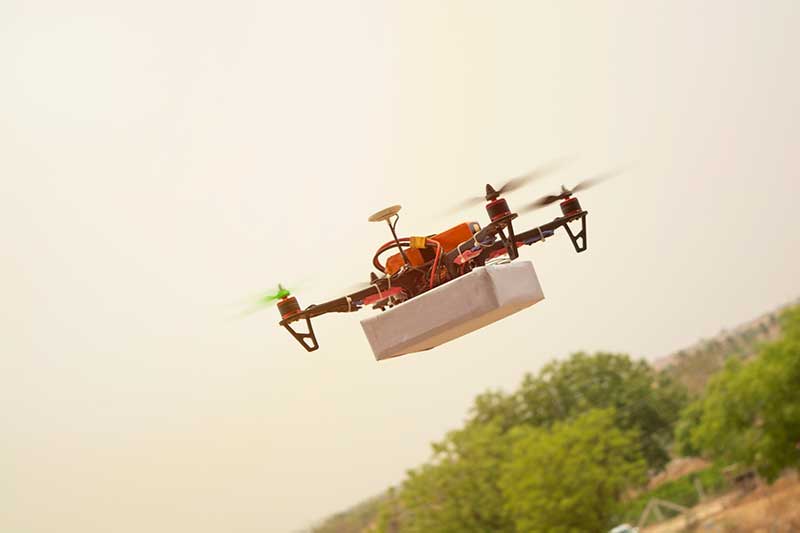
The first drone of Europe’s U-space TRACE project took its maiden flight Sept. 23. It carried an EGNOS-enabled […]

UAVOS Inc. has performed a series of successful flight trials with High Altitude Pseudo Satellite (HAPS) ApusDuo, testing […]

DJI has debuted two payload solutions for its flagship commercial drone platform Matrice 300 RTK: the DJI Zenmuse […]
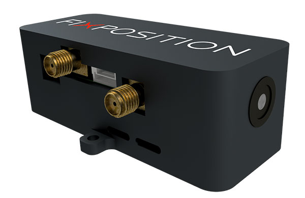
Vision-RTK enables applications in previously unreachable areas and unlocks new possibilities for autonomous ground robots and drones At […]
Follow Us