
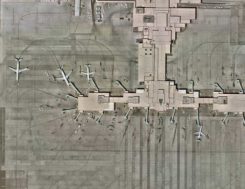
Skycatch system provides in-the-field UAV maps
April 1, 2020
The Edge1 system by Skycatch is a combination GNSS base station and drone data-processing unit that delivers high-accuracy […]
Read More
The Edge1 system by Skycatch is a combination GNSS base station and drone data-processing unit that delivers high-accuracy […]
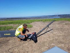
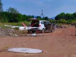
Based in Bristol, AG Surveys has been collecting topographic beach surveys around the country as part of England’s […]
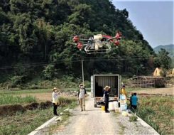
Pesticides, fertilizers and water are the most important means to enhance agricultural crop production. The prevalent infestation of […]
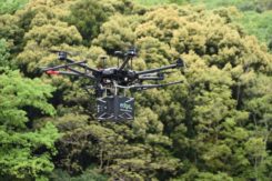
Site-survey preparations for a windfarm of 20 300-foot tall wind turbines might have been quite complex for a […]
The UAV market has been growing rapidly for the past several years, especially in the U.S. with the […]
The ability to capture and evaluate truth on the ground through aerial imagery is an ever-growing industry, thanks […]
The CHCNAV P330 vertical takeoff and landing (VTOL) UAV has been deployed to complete orthophoto acquisition with a […]
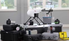
The ASTRALiTe Edge is a small-scale topographic and bathymetric scanning lidar that can detect underwater objects, measure shallow […]


Follow Us