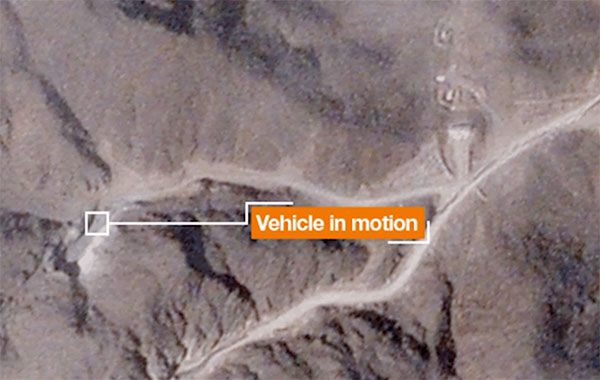
Geospatial imagery shows activity at Iranian nuclear facility
July 7, 2021
A team with Stanford University’s Center for International Security and Cooperation (CISAC) used BlackSky’s geospatial imagery and burst […]
Read More

A team with Stanford University’s Center for International Security and Cooperation (CISAC) used BlackSky’s geospatial imagery and burst […]
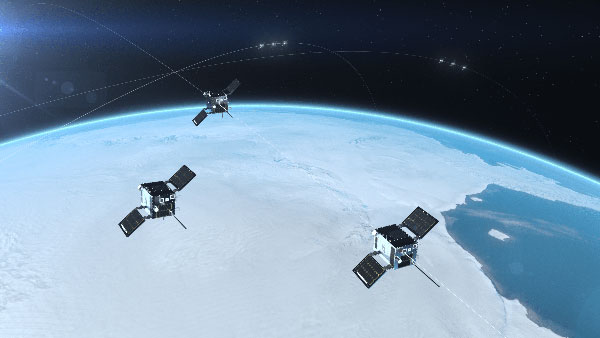
The HawkEye 360 constellation detects and geolocates RF signals for maritime situational awareness, emergency response, national security and […]
A May report by the Government Accountability Office (GAO) explores Department of Defense (DOD) strategy for positioning, navigation […]
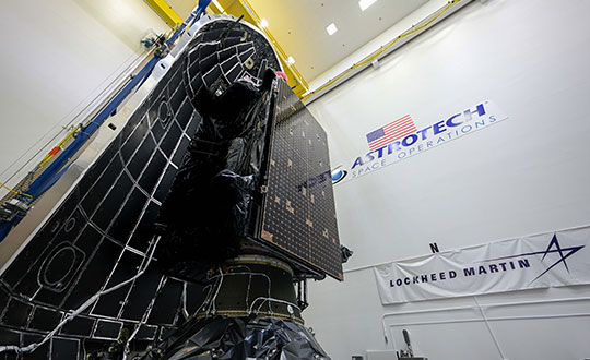
The fifth GPS III satellite was encapsulated within a SpaceX payload fairing on June 9 in preparation for […]
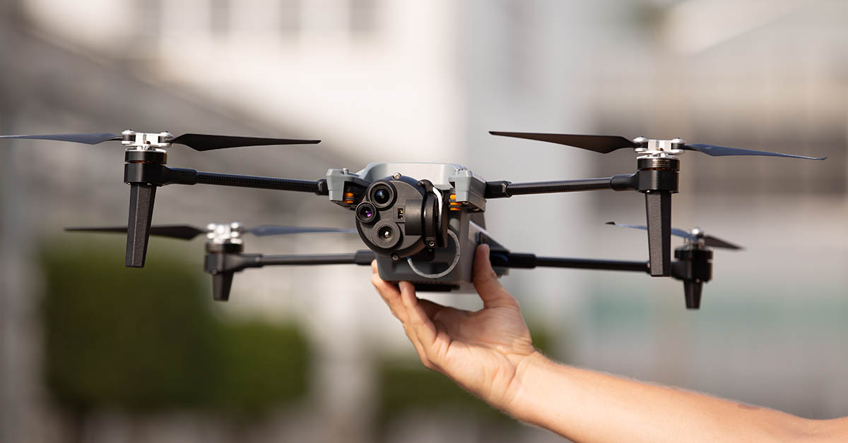
A bill moving through the U.S. Congress would impose a five-year ban on United States government purchases of […]
Electronic Warfare Kit enables dismounted soldiers to detect, map and mitigate the impact of navigational warfare (NAVWAR) attacks […]

BAE Systems Inc. has received a $325.5 million contract from the Defense Logistics Agency for advanced military code […]
Follow Us