Online Exclusive: PNT by Other Means
July 5, 2023
Advanced industrial societies are increasingly reliant on the fantastic capabilities of GNSS and, therefore, increasingly vulnerable to their weaknesses.
Read More
Advanced industrial societies are increasingly reliant on the fantastic capabilities of GNSS and, therefore, increasingly vulnerable to their weaknesses.
This month’s column is an irresistible departure from sensible, autonomous UAVs and artificial intelligence (AI) news. We’re taking […]
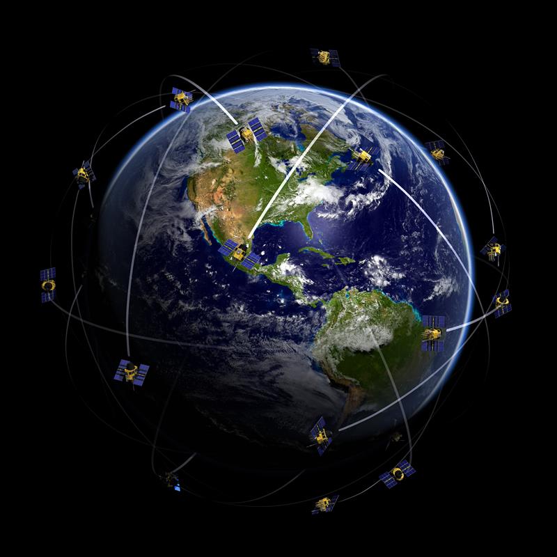
While I’m likely preaching to the choir here, GNSS cannot work unless we have an accurate description of the orbits of the satellites and the behavior of their atomic clocks.

AUVSI XPONENTIAL is underway in Denver, Colorado, at the Colorado Convention Center. After the second day of touring the XPO Hall, GPS World staff wanted to highlight some key parts of the day.

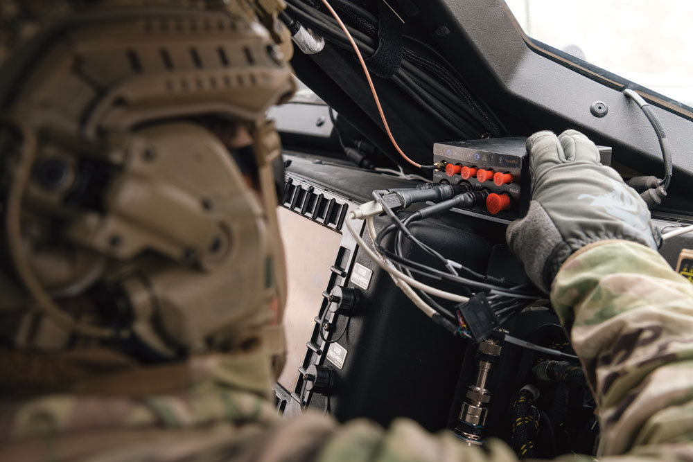
After the first day of AUVSI XPONENTIAL 2023, GPS World staff noticed a key theme: mitigating GNSS jamming and spoofing by advancing technology for UAVs.

“Seen & Heard” is a monthly feature of GPS World magazine, traveling the world to capture interesting and unusual news stories involving the GNSS/PNT industry.
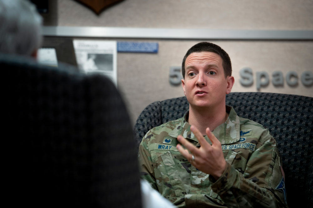
The May issue of GPS World features an exclusive interview with the commander of the unit that operates the GPS constellation.
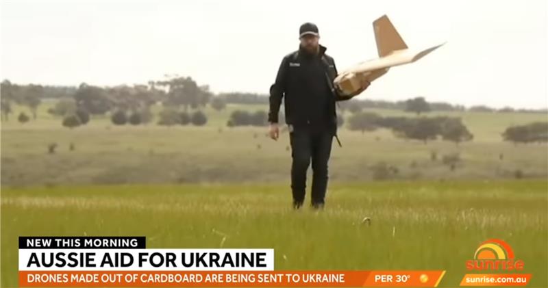
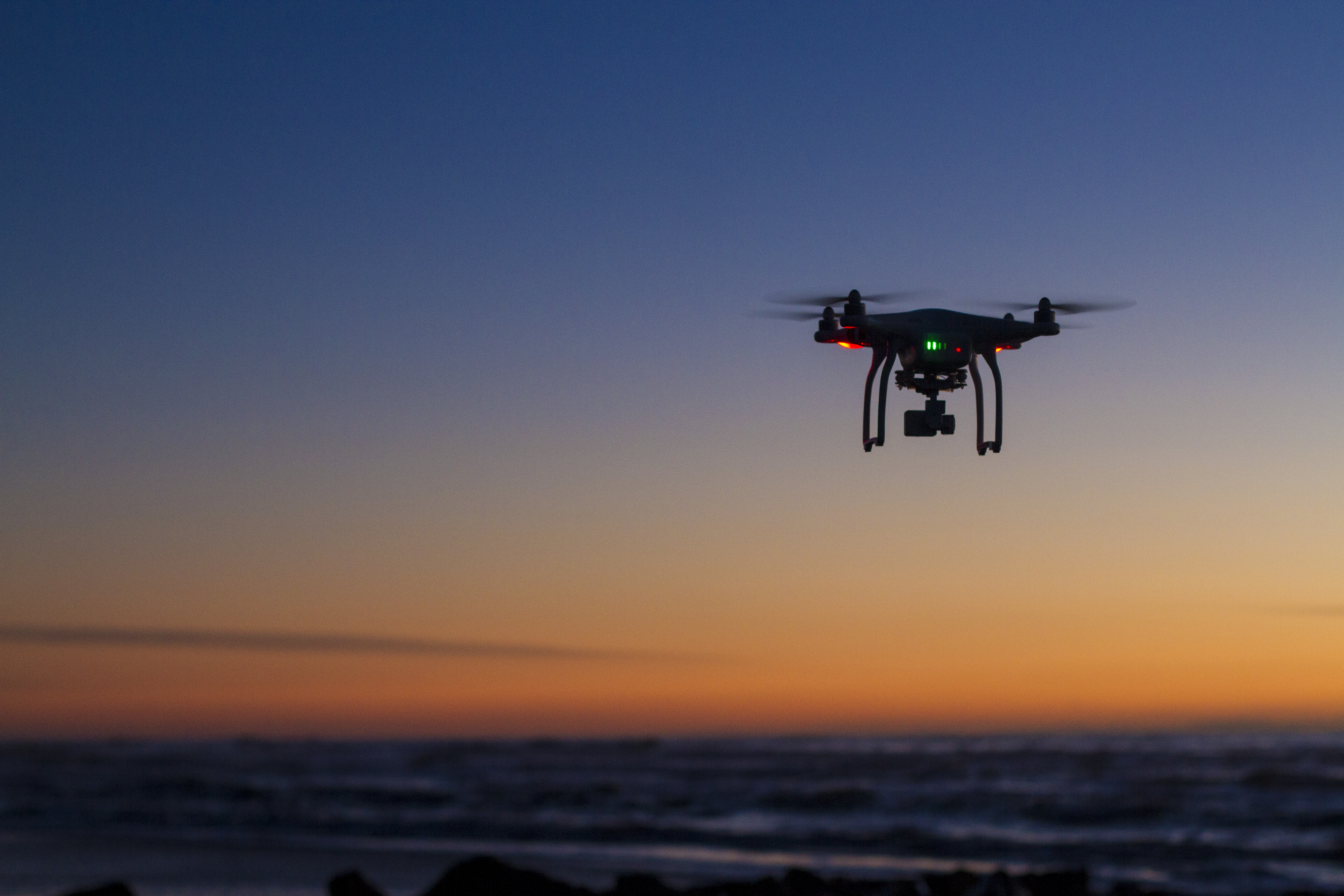
A couple of war in Ukraine unmanned air vehicle (UAV) stories and a response to the recent Open Letter by “Future of Life Institute” with over 200,000 signatures on advanced artificial intelligence (AI), which urged a six-month moratorium to allow the development of seemingly much needed AI regulations.


Follow Us