Trimble Applanix: Unmanned aerial vehicles aid survey efforts
April 10, 2023
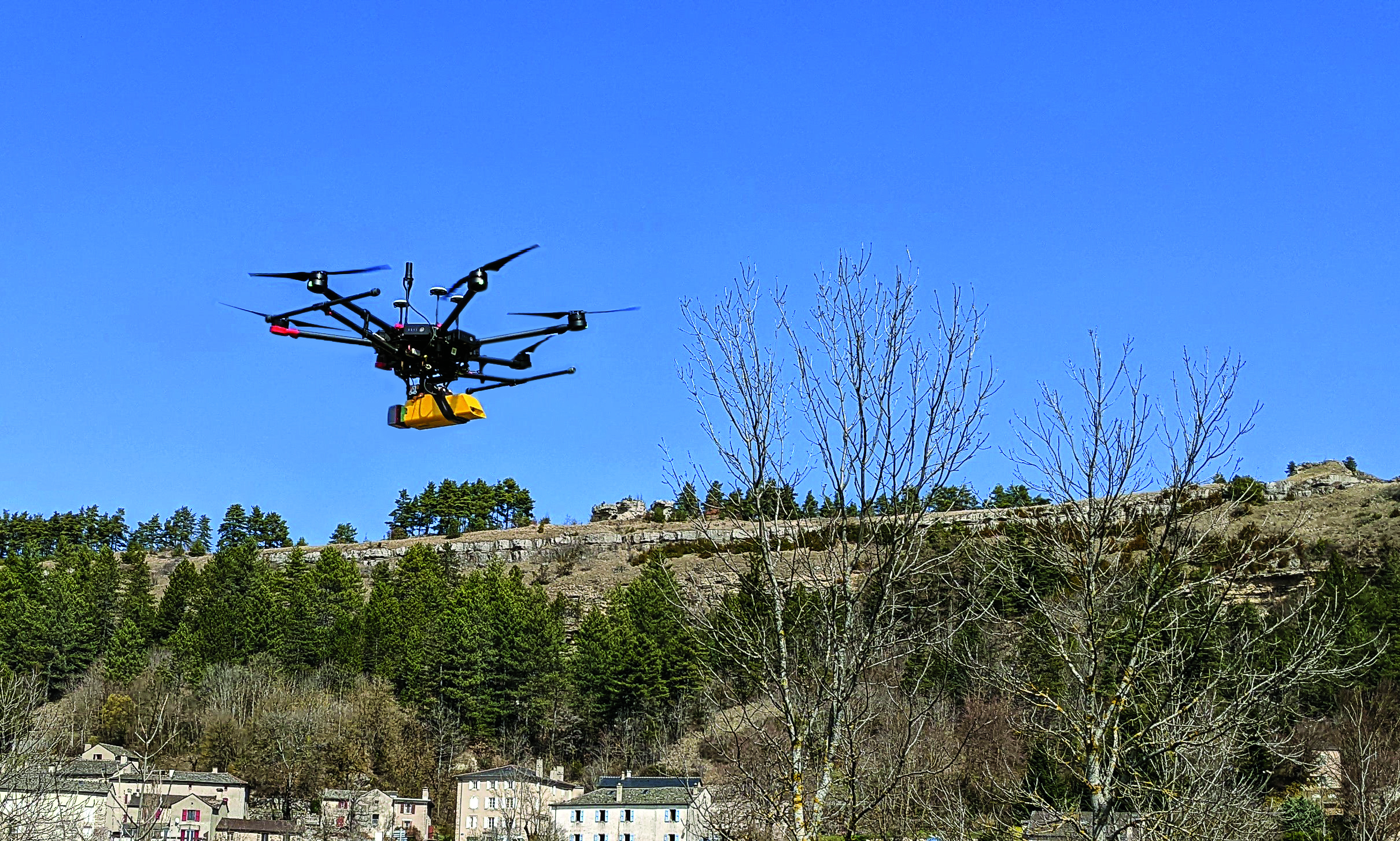
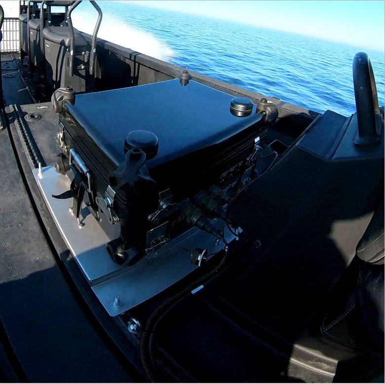
One way to implement direct georeferencing on UAV platforms is the Trimble APX-20 UAV, a GNSS-inertial OEM solution that increases the mapping efficiency of small UAVs.
Read More


Follow Us