Plug-and-play compass selected for survey package
November 3, 2020
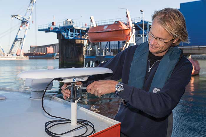
Advanced Navigation’s plug-and-play GNSS Compass was selected by Nortek for its new survey package. Nortek’s scientific instruments apply […]
Read More
Advanced Navigation’s plug-and-play GNSS Compass was selected by Nortek for its new survey package. Nortek’s scientific instruments apply […]

Across North America, the use of high-accuracy GNSS technology has proliferated among water and wastewater service providers. Water […]

Offshore construction company Sulmara Subsea has exclusively used Hexagon | VERIPOS solutions since inception to achieve precise, redundant […]
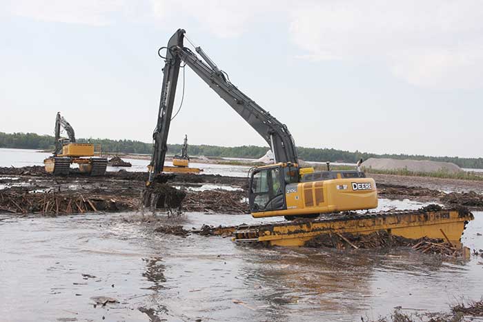
Over the years, contractors involved in underwater excavation projects — dredging, pond/lake expansions, creation of boat landings, waterfront cleanups, […]
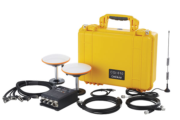
A roundup of recent products in the GNSS and inertial positioning industry from the November 2020 issue of […]

The Port of Long Beach, California, is moving up and down because it sits on fault blocks that […]
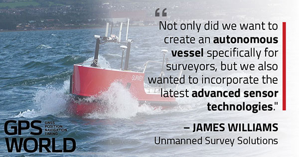
U.K.-based Unmanned Survey Solutions (USS) has created a unique unmanned surface vessel called the Accession Class USV. It’s […]
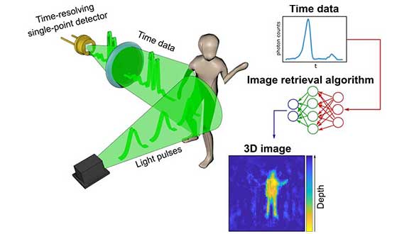
A new method of imaging that harnesses artificial intelligence to turn time into visions of 3D space could […]


Follow Us