
Launchpad: New modules, UAVs take flight
March 9, 2020
A roundup of recent products in the GNSS and inertial positioning industry from the March 2020 issue of […]
Read More
A roundup of recent products in the GNSS and inertial positioning industry from the March 2020 issue of […]

Using data from GPS receivers and seismographs, three seismologists may have found a way to identify tsunami earthquakes […]

GNSS, coupled with inertial systems and software, is enabling greater accuracy in construction and agriculture. Other markets using […]

GPS World spoke with Guillermo Perez-Iturbe, Trimble’s marketing director – agriculture, about the challenges for farms in adopting […]
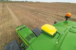
Precision agriculture — the practice of optimizing inputs of seed, water, and fertilizers while maximizing yields by mapping […]
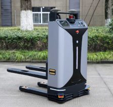
With the development of intelligent shipping ports, many port-related tools — gantry cranes, loaders and forklifts — can […]

Creating detailed street maps and keeping them updated is an expensive and time-consuming task performed mostly by large […]
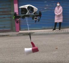
“Seen & Heard” is a monthly feature of GPS World magazine, traveling the world to capture interesting and unusual news […]


Follow Us